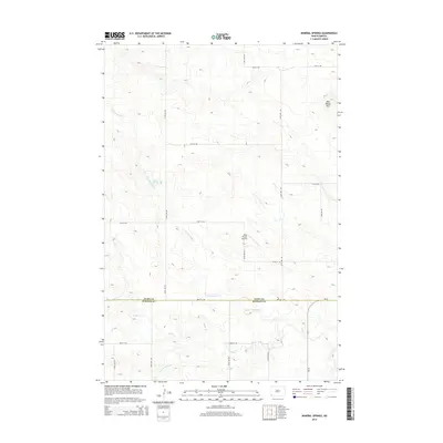
2014 Map of Mineral Springs
USGS Topo · Published 2014About this map
Mineral Springs and the surrounding high plains of southwestern North Dakota characterize this 2014 survey. The terrain is defined by the headwaters of the N Fork Cedar Cr, which carves a winding path across the landscape before joining the main branch of Cedar Cr near the border of Slope and Bowman counties. This rural landscape is largely organized by a strict section-line road grid, including 76th St SW and 137th Ave SW, reflecting the enduring legacy of the Homestead Act's land distribution system. Aside from these thoroughfares and the isolated Dilse Private Airstrip, the region remains dominated by open range and the Bob Denny Hills, with very few permanent structures or named settlements present.
Find a feature on this map
19 named features on this map. Tap any name to fly to it.
Don’t see what you’re looking for? This feature index may not catch every label — zoom into the map to look around manually.
Map Details
Editions of this 2014 Mineral Springs Map
This is the sole edition of this map. No revisions or reprints were ever made.
Other maps of this area

1953 · Dickinson
USGS Topo · 1:250,000

1957 · Dickinson
USGS Topo · 1:250,000

1969 · Scranton
USGS Topo · 1:24,000

1969 · Scranton NE
USGS Topo · 1:24,000

1973 · White Lake
USGS Topo · 1:24,000

1973 · Warnke Hill
USGS Topo · 1:24,000

1973 · Mineral Springs
USGS Topo · 1:24,000

1973 · Talbot Butte
USGS Topo · 1:24,000

1973 · Amidon SE
USGS Topo · 1:24,000

1973 · Amidon
USGS Topo · 1:24,000