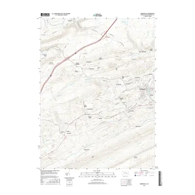
2016 Map of Minersville
USGS Topo · Published 2016About this map
Minersville and its surrounding coal-country settlements dominate this landscape in the southern anthracite region. The dense cluster of communities including Primrose, Forestville, and Jonestown reflects the historical labor patterns of the mining industry, while more isolated locales like Blackwood and New Mines mark the outskirts of development. The topography is defined by the parallel ridges of Broad Mountain and Mine Hill, with drainage provided by the W Br Schuylkill River and its various tributaries. Modern infrastructure, such as the Schuylkill County / Joe Zerbey / Airport, sits alongside older landmarks like Beurys Lake and the Minersville Reservoir. The distribution of residential grids and industrial labels provides a clear picture of the valley's settlement hierarchy and the persistent influence of the geology on local geography.
Find a feature on this map
117 named features on this map. Tap any name to fly to it.
Don’t see what you’re looking for? This feature index may not catch every label — zoom into the map to look around manually.
Map Details
Editions of this 2016 Minersville Map
This is the sole edition of this map. No revisions or reprints were ever made.
Other maps of this area

1889 · Catawissa
USGS Topo · 1:62,500

1889 · Pottsville
USGS Topo · 1:62,500

1891 · Pottsville
USGS Topo · 1:62,500

1892 · Catawissa
USGS Topo · 1:62,500

1892 · Mahanoy
USGS Topo · 1:62,500

1892 · Pine Grove
USGS Topo · 1:62,500

1893 · Mahanoy
USGS Topo · 1:62,500

1894 · Catawissa
USGS Topo · 1:62,500

1944 · Pottsville
USGS Topo · 1:24,000

1945 · Friedensburg
USGS Topo · 1:24,000