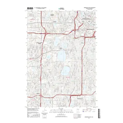
2016 Map of Minneapolis South
USGS Topo · Published 2016About this map
Mississippi National River and Recreation Area anchors the northeastern corner of this urban landscape, where the Mississippi River flows past Nicollet Island and Hennepin Island near Anthony Falls. The terrain is defined by a massive chain of lakes and parks that separate the commercial core of Minneapolis from its western suburbs like Saint Louis Park and Edina. A high concentration of cemeteries, including the sprawling Lakewood Cem and Saint Marys Cem, provides a significant record of the region’s social and religious history.
Find a feature on this map
67 named features on this map. Tap any name to fly to it.
Don’t see what you’re looking for? This feature index may not catch every label — zoom into the map to look around manually.
Map Details
Editions of this 2016 Minneapolis South Map
This is the sole edition of this map. No revisions or reprints were ever made.
Other maps of this area

1896 · Minneapolis
USGS Topo · 1:62,500

1896 · St. Paul
USGS Topo · 1:62,500

1901 · Minneapolis
USGS Topo · 1:62,500

1902 · White Bear
USGS Topo · 1:62,500

1902 · Anoka
USGS Topo · 1:62,500

1951 · St. Paul West
USGS Topo · 1:24,000

1951 · St. Paul SW
USGS Topo · 1:24,000

1951 · St. Paul
USGS Topo · 1:62,500

1952 · Minneapolis North
USGS Topo · 1:24,000

1952 · Minneapolis South
USGS Topo · 1:24,000