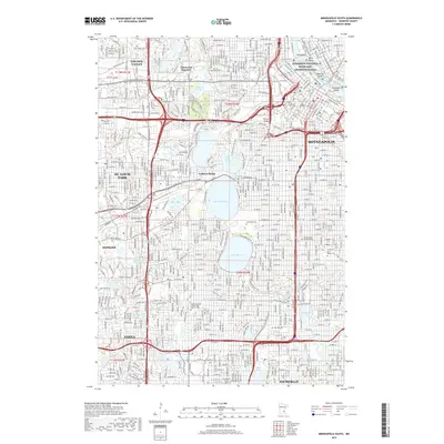
2019 Map of Minneapolis South
USGS Topo · Published 2019About this map
Saint Anthony Falls and the upper reaches of the Mississippi National River and Recreation Area anchor the urban core of this Minneapolis study. The landscape is defined by its massive chain of lakes, including Bde Maka Ska, Lake Harriet, and Cedar Lake, which serve as focal points for the surrounding neighborhoods of St. Louis Park, Edina, and Hopkins. The density of the city is evident in the gridiron street patterns and the significant acreage dedicated to historic burial grounds, such as Lakewood Cem and Saint Mary's Cem.
Find a feature on this map
176 named features on this map. Tap any name to fly to it.
Don’t see what you’re looking for? This feature index may not catch every label — zoom into the map to look around manually.
Map Details
Editions of this 2019 Minneapolis South Map
This is the sole edition of this map. No revisions or reprints were ever made.
Other maps of this area

1896 · Minneapolis
USGS Topo · 1:62,500

1896 · St. Paul
USGS Topo · 1:62,500

1901 · Minneapolis
USGS Topo · 1:62,500

1902 · White Bear
USGS Topo · 1:62,500

1902 · Anoka
USGS Topo · 1:62,500

1951 · St. Paul West
USGS Topo · 1:24,000

1951 · St. Paul SW
USGS Topo · 1:24,000

1951 · St. Paul
USGS Topo · 1:62,500

1952 · Minneapolis North
USGS Topo · 1:24,000

1952 · Minneapolis South
USGS Topo · 1:24,000