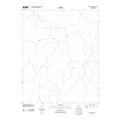
2010 Map of Minnie Butte
USGS Topo · Published 2010About this map
Tramperos Creek and its various tributaries, including Church Creek and Mesita Creek, define the drainage patterns across this section of Union County. The landscape is characterized by sparse ranching settlements and energy infrastructure, notably the Amoco Number One State FE site located west of the central plains. Smaller community nodes such as Miera, Padilla, and Jeffrey are connected by a network of rural routes like County Road M and County Hwy C-022. The most prominent topographical landmark is Minnie Butte, which rises above the surrounding flats in the eastern half of the quadrangle. This 2010 survey illustrates the continuity of high-plains land use, where large-scale ranching and mineral exploration intersect at the turn of the 21st century.
Find a feature on this map
17 named features on this map. Tap any name to fly to it.
Don’t see what you’re looking for? This feature index may not catch every label — zoom into the map to look around manually.
Map Details
Editions of this 2010 Minnie Butte Map
This is the sole edition of this map. No revisions or reprints were ever made.
Other maps of this area

1954 · Tucumcari
USGS Topo · 1:250,000

1954 · Dalhart
USGS Topo · 1:250,000

1958 · Tucumcari
USGS Topo · 1:250,000

1958 · Dalhart
USGS Topo · 1:250,000

1962 · Dalhart
USGS Topo · 1:250,000

1966 · Pedernal Creek
USGS Topo · 1:24,000

1966 · Car Top Butte
USGS Topo · 1:24,000

1966 · Cottonwood Springs
USGS Topo · 1:24,000

1973 · Bueyeros NE
USGS Topo · 1:24,000

1973 · Garcia Creek
USGS Topo · 1:24,000