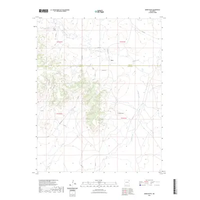
2023 Map of Minnie Butte
USGS Topo · Published 2023About this map
San Juan Batista Church-Cem stands as a focal point for local history in this part of northeastern New Mexico, where the small settlement of Miera occupies a landscape defined by seasonal watercourses and prominent landforms. The terrain is marked by the eponymous Minnie Butte, rising near the center of the sheet and surrounded by a network of drainage systems including Tramperos Creek, Del Muerto Creek, and Church Creek. This 2023 survey illustrates the continued importance of rural infrastructure, with routes like Blue Front Rd and Gap Rd connecting isolated points across the Union and Harding county line. The map Detail provides a contemporary look at the ranching and agricultural patterns that have long characterized the High Plains, showing how modern county roads trace older paths through the valleys of Ventanas Creek and along the base of the area's volcanic mesas.
Find a feature on this map
22 named features on this map. Tap any name to fly to it.
Don’t see what you’re looking for? This feature index may not catch every label — zoom into the map to look around manually.
Map Details
Editions of this 2023 Minnie Butte Map
This is the sole edition of this map. No revisions or reprints were ever made.
Other maps of this area

1954 · Tucumcari
USGS Topo · 1:250,000

1954 · Dalhart
USGS Topo · 1:250,000

1958 · Tucumcari
USGS Topo · 1:250,000

1958 · Dalhart
USGS Topo · 1:250,000

1962 · Dalhart
USGS Topo · 1:250,000

1966 · Pedernal Creek
USGS Topo · 1:24,000

1966 · Car Top Butte
USGS Topo · 1:24,000

1966 · Cottonwood Springs
USGS Topo · 1:24,000

1973 · Bueyeros NE
USGS Topo · 1:24,000

1973 · Garcia Creek
USGS Topo · 1:24,000