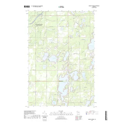
2019 Map of Minong Flowage
USGS Topo · Published 2019About this map
The Saint Croix National Scenic Riverway dominates the northwest corner of this Wisconsin landscape, where the St. Croix Wild and Scenic River carves through the timberland. Spanning the border of Douglas Co and Washburn Co, the region is defined by a dense concentration of glacial lakes and complex wetlands. Significant water bodies such as Cranberry Lake, Crystal Lake, and Middle Kimball Lake are interconnected by a network of local routes like Buckley Island Rd and Webb Lake Rd. To the southeast, the Totogatic River winds toward Gilmore Lake, illustrating the intricate drainage patterns of the northern woods. High ground is scarce, though Fire Hill stands as a notable landmark amidst the surrounding Buckley Cr and Webb Lake drainage basins.
Find a feature on this map
113 named features on this map. Tap any name to fly to it.
Don’t see what you’re looking for? This feature index may not catch every label — zoom into the map to look around manually.
Map Details
Editions of this 2019 Minong Flowage Map
This is the sole edition of this map. No revisions or reprints were ever made.
Other maps of this area

1945 · Solon Springs
USGS Topo · 1:48,000

1947 · Minong
USGS Topo · 1:48,000

1949 · Solon Springs
USGS Topo · 1:48,000

1949 · Minong
USGS Topo · 1:48,000

1949 · Webb Lake
USGS Topo · 1:48,000

1949 · Patzau
USGS Topo · 1:48,000

1953 · Ashland
USGS Topo · 1:250,000

1953 · Duluth
USGS Topo · 1:250,000

1955 · Webb Lake
USGS Topo · 1:62,500

1955 · Patzau
USGS Topo · 1:62,500