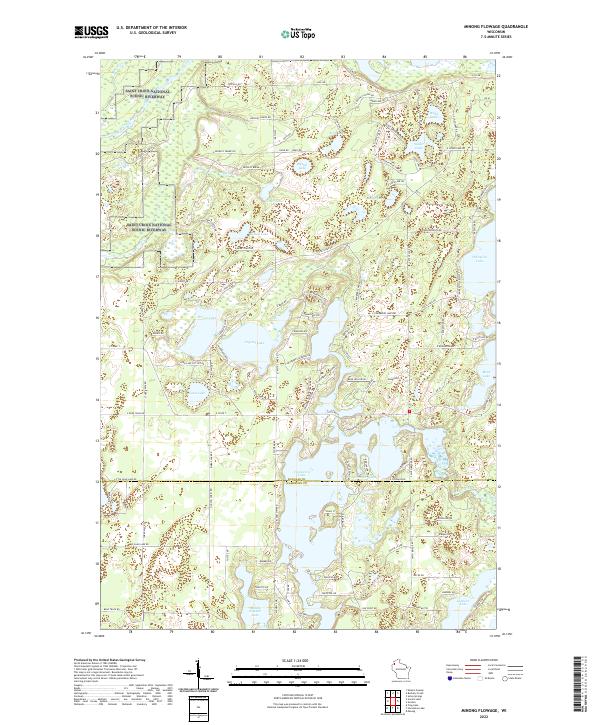
2022 Map of Minong Flowage
USGS Topo · Published 2022About this map
The Saint Croix Wild and Scenic River defines the northwestern reaches of this terrain, part of the wider Saint Croix National Scenic Riverway at the border of Douglas and Washburn counties. The landscape is a complex mosaic of glacial water bodies, with the Totagatic River flowing through the southern half, feeding into the expansive Cranberry Lake. This 2022 survey illustrates the modern residential and recreational character of the Northwoods, showing the network of local roads such as Buckley Island Rd and S Whitefish Lake Rd that serve the many lakefronts.
Find a feature on this map
115 named features on this map. Tap any name to fly to it.
Don’t see what you’re looking for? This feature index may not catch every label — zoom into the map to look around manually.
Map Details
Editions of this 2022 Minong Flowage Map
This is the sole edition of this map. No revisions or reprints were ever made.
Other maps of this area

1945 · Solon Springs
USGS Topo · 1:48,000

1947 · Minong
USGS Topo · 1:48,000

1949 · Solon Springs
USGS Topo · 1:48,000

1949 · Minong
USGS Topo · 1:48,000

1949 · Webb Lake
USGS Topo · 1:48,000

1949 · Patzau
USGS Topo · 1:48,000

1953 · Ashland
USGS Topo · 1:250,000

1953 · Duluth
USGS Topo · 1:250,000

1955 · Webb Lake
USGS Topo · 1:62,500

1955 · Patzau
USGS Topo · 1:62,500