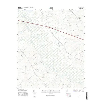
2017 Map of Minter
USGS Topo · Published 2017About this map
The Oconee River meanders through this Laurens County landscape, creating a complex wetland environment of oxbows and secondary channels such as the Dead River and Muddy Slough. In this riverine corridor, unique water features like Troup Lake and Watson Lake are joined by numerous groundwater sources, including Wells Spring, Rock Springs, and Troup Spring. These natural features reflect the hydrology of the coastal plain before heavy modern alteration.
Find a feature on this map
80 named features on this map. Tap any name to fly to it.
Don’t see what you’re looking for? This feature index may not catch every label — zoom into the map to look around manually.
Map Details
Editions of this 2017 Minter Map
This is the sole edition of this map. No revisions or reprints were ever made.
Other maps of this area

1957 · Macon
USGS Topo · 1:250,000

1958 · Macon
USGS Topo · 1:250,000

1964 · Macon
USGS Topo · 1:250,000

1971 · Lothair
USGS Topo · 1:24,000

1971 · Rockledge
USGS Topo · 1:24,000

1974 · Lowery
USGS Topo · 1:24,000

1974 · Five Points
USGS Topo · 1:24,000

1974 · Rentz
USGS Topo · 1:24,000

1974 · East Dublin
USGS Topo · 1:24,000

1974 · Scott
USGS Topo · 1:24,000