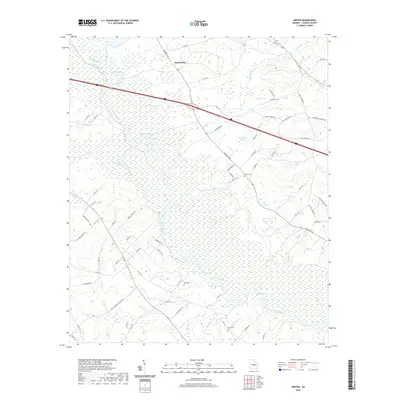
2020 Map of Minter
USGS Topo · Published 2020About this map
The Oconee River carves a winding path through this portion of Laurens County, defining a landscape of dense wetlands and intermittent water bodies. North of the river, East Dublin sits near the junction of several rural routes including Old River Rd and Bush Rd, which navigate the elevation changes around Tark Hill. The mapping of several distinct water sources, such as Troup Spring, Wells Spring, and Rock Springs, points to the region's complex hydrology and traditional reliance on these natural features for early settlement. Family names are preserved through landmarks like Minter Cem and Moore Cem, alongside newer infrastructure like Interstate 16 that now intersects the older country lanes. This survey offers a precise look at the transition between the river's floodplains and the surrounding agricultural land.
Find a feature on this map
76 named features on this map. Tap any name to fly to it.
Don’t see what you’re looking for? This feature index may not catch every label — zoom into the map to look around manually.
Map Details
Editions of this 2020 Minter Map
This is the sole edition of this map. No revisions or reprints were ever made.
Other maps of this area

1957 · Macon
USGS Topo · 1:250,000

1958 · Macon
USGS Topo · 1:250,000

1964 · Macon
USGS Topo · 1:250,000

1971 · Lothair
USGS Topo · 1:24,000

1971 · Rockledge
USGS Topo · 1:24,000

1974 · Lowery
USGS Topo · 1:24,000

1974 · Five Points
USGS Topo · 1:24,000

1974 · Rentz
USGS Topo · 1:24,000

1974 · East Dublin
USGS Topo · 1:24,000

1974 · Scott
USGS Topo · 1:24,000