Loading...
Loading map...2023 Map of Mio
USGS Topo · Published 2023About this map
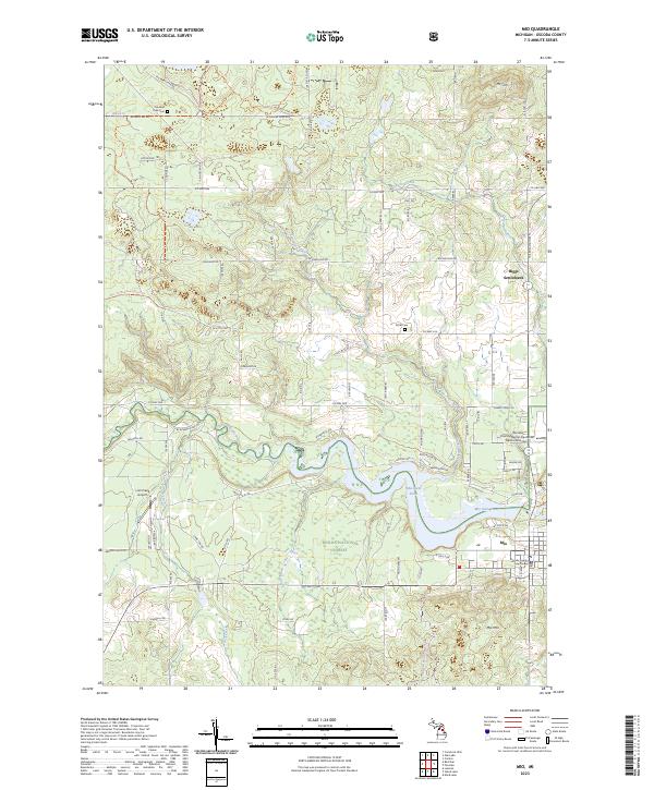
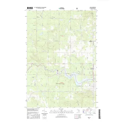
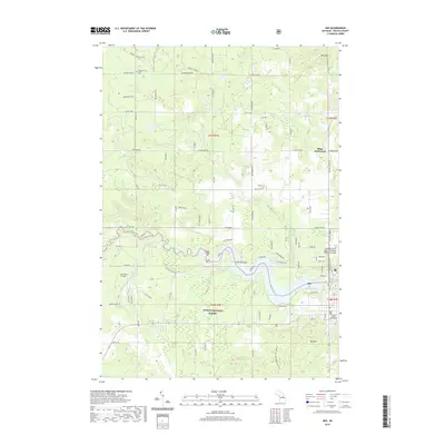
The Au Sable River winds through the heart of the Huron National Forest, anchoring the landscape near the town of Mio. This modern survey reveals the topography of the glacial outwash plains and moraines, punctuated by high points like Mt Tom and Mio Mtn. The river's path is marked by the Mio Dam Pond, an essential feature for the local community and the seat of the Oscoda County Courthouse.
Find a feature on this map
97 named features on this map. Tap any name to fly to it.
Don’t see what you’re looking for? This feature index may not catch every label — zoom into the map to look around manually.
Map Details
Date Portrayed2023
Date Published2023
PublisherU.S. Geological Survey
Map TypeTopographic
Scale1:24,000
Physical Dimensions24 x 29 inches
Editions of this 2023 Mio Map
This is the sole edition of this map. No revisions or reprints were ever made.
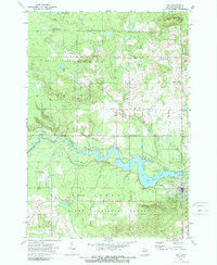
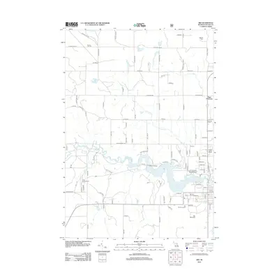
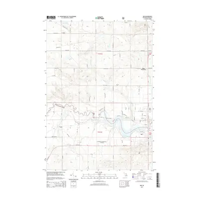
Historical Maps of Mio Through Time
6 maps found
Featured Locations
- Big Creek Township, MI
- Comins Township, MI
- Mentor Township, MI
- Biggs Settlement, Comins Township
- Mio, Mentor Township
Source Details
SourceU.S. Geological Survey
CopyrightPublic Domain