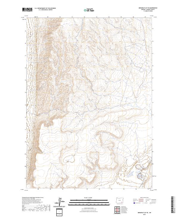
2023 Map of Miranda Flat SE
USGS Topo · Published 2023About this map
Public Land Survey System boundaries, including T34s R35e and T34s R36e, delineate this high-desert portion of Harney County. The topography is defined by the expansive drainage patterns and ridges common to the Oregon interior, captured here through modern digital elevation data and recent hydrography records. This 2023 edition reflects the current geopolitical structure of the township and range system in the region, encompassing both T35s R35e and T35s R36e. While human-named landmarks and settlements are absent from the printed face of this specific sheet, the map provides an essential baseline for modern land ownership and resource management in the Great Basin landscape.
Find a feature on this map
4 named features on this map. Tap any name to fly to it.
Don’t see what you’re looking for? This feature index may not catch every label — zoom into the map to look around manually.
Map Details
Editions of this 2023 Miranda Flat SE Map
This is the sole edition of this map. No revisions or reprints were ever made.
Other maps of this area

1955 · Adel
USGS Topo · 1:250,000

1957 · Adel
USGS Topo · 1:250,000

1958 · Adel
USGS Topo · 1:250,000

1962 · Adel
USGS Topo · 1:250,000

1981 · Coyote Lake West
USGS Topo · 1:24,000

1981 · Tule Springs
USGS Topo · 1:24,000

1981 · Tule Springs NE
USGS Topo · 1:24,000

1981 · Ancient Lake Well
USGS Topo · 1:24,000

1981 · Miranda Flat SW
USGS Topo · 1:24,000

1981 · Miranda Flat SE
USGS Topo · 1:24,000