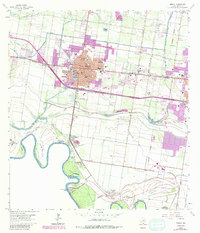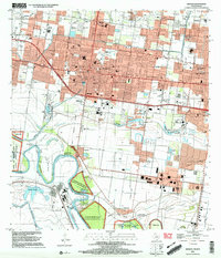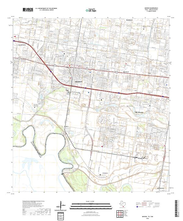
2022 Map of Mission
USGS Topo · Published 2022About this map
The Rio Grande forms a winding international boundary at the southern edge of this modern survey, defining the geography of Mission and its surrounding communities. This border landscape is characterized by a sophisticated irrigation and drainage network, including the Mission Main Canal, the Edinburg Main Canal, and the Main Floodway, which support the region's agricultural roots while suburban development expands through Palmview and Sharyland. Natural features such as Sardinas Resaca, Bentsen Lake, and Lake Conception provide distinctive breaks in the residential grid. Local history is anchored by several memorial sites, notably the Rio Grande Valley State Veterans Cem and the Laurel Hill Cem. The road network highlights the area's deep history, where modern corridors like E Expy 83 run parallel to traditional routes like El Camino Real St and Military Rd.
Find a feature on this map
33 named features on this map. Tap any name to fly to it.
Don’t see what you’re looking for? This feature index may not catch every label — zoom into the map to look around manually.
Map Details
Editions of this 2022 Mission Map
This is the sole edition of this map. No revisions or reprints were ever made.
Historical Maps of Granjeno Through Time
3 maps found