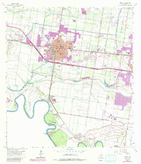
1963 Map of Mission
USGS Topo · Published 1984About this map
The Rio Grande defines the international boundary on this map, which tracks the growth of Mission and eastern Mc Allen during the early 1960s. The landscape is a complex network of irrigation and water control, featuring the Main Canal and Sardinas Resaca feeding the citrus-rich Lower Rio Grande Valley. Evidence of the region's agricultural and industrial infrastructure is visible in the Mission Main Canal, numerous trailer parks, and the Refinery south of the city center.
Find a feature on this map
64 named features on this map. Tap any name to fly to it.
Don’t see what you’re looking for? This feature index may not catch every label — zoom into the map to look around manually.
Map Details
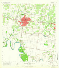
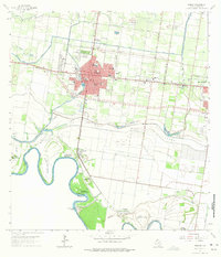
Editions of this 1963 Mission Map
3 editions found
Other maps of this area

1914 · San Juan
USGS Topo · 1:48,000

1916 · San Juan
USGS Topo · 1:62,500

1940 · Monte Christo
USGS Topo · 1:62,500

1949 · Mc Allen
USGS Topo · 1:250,000

1954 · McAllen
USGS Topo · 1:250,000

1957 · Mc Allen
USGS Topo · 1:250,000

1962 · McAllen
USGS Topo · 1:250,000
1962 · Las Milpas
USGS Topo · 1:24,000

1963 · La Joya
USGS Topo · 1:24,000

1963 · Edinburg
USGS Topo · 1:24,000