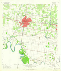
1963 Map of Mission
USGS Topo · Published 1965About this map
Mission and the surrounding Hidalgo County landscape are defined by a complex network of irrigation and flood control during the early 1960s. The Mission Main Canal and Mission Inlet cut through the citrus-growing region, supporting the local agricultural economy before reaching the winding Rio Grande to the south. This survey documents a critical period of hydrological management, featuring the Anzalduas Dam and various historic riverbank segments such as Anzaldua Banco No 45 and Maria Inez Banco No 46.
Find a feature on this map
45 named features on this map. Tap any name to fly to it.
Don’t see what you’re looking for? This feature index may not catch every label — zoom into the map to look around manually.
Map Details
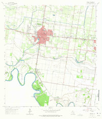
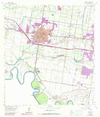
Editions of this 1963 Mission Map
3 editions found
Other maps of this area

1914 · San Juan
USGS Topo · 1:48,000

1916 · San Juan
USGS Topo · 1:62,500

1940 · Monte Christo
USGS Topo · 1:62,500

1949 · Mc Allen
USGS Topo · 1:250,000

1954 · McAllen
USGS Topo · 1:250,000

1957 · Mc Allen
USGS Topo · 1:250,000

1962 · McAllen
USGS Topo · 1:250,000
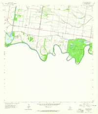
1962 · Las Milpas
USGS Topo · 1:24,000

1963 · La Joya
USGS Topo · 1:24,000

1963 · Edinburg
USGS Topo · 1:24,000