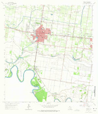
1963 Map of Mission
USGS Topo · Published 1975About this map
The Rio Grande meanders along the international border in this mid-century portrait of Hidalgo County, where an intricate network of irrigation and flood control defines the landscape. The city of Mission serves as the central hub, supported by the Missouri Pacific railroad and a grid of rural lanes like Sharyland Road. Water management is the primary architectural force here, visible in the Mission Main Canal and the massive Main Floodway designed to handle the river's seasonal shifts.
Find a feature on this map
56 named features on this map. Tap any name to fly to it.
Don’t see what you’re looking for? This feature index may not catch every label — zoom into the map to look around manually.
Map Details
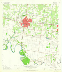
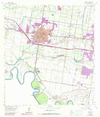
Editions of this 1963 Mission Map
3 editions found
Other maps of this area

1914 · San Juan
USGS Topo · 1:48,000

1916 · San Juan
USGS Topo · 1:62,500

1940 · Monte Christo
USGS Topo · 1:62,500

1949 · Mc Allen
USGS Topo · 1:250,000

1954 · McAllen
USGS Topo · 1:250,000

1957 · Mc Allen
USGS Topo · 1:250,000

1962 · McAllen
USGS Topo · 1:250,000
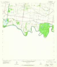
1962 · Las Milpas
USGS Topo · 1:24,000

1963 · La Joya
USGS Topo · 1:24,000

1963 · Edinburg
USGS Topo · 1:24,000