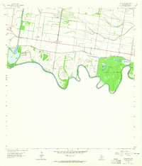
1962 Map of Las Milpas
USGS Topo · Published 1965About this map
The Rio Grande defines the southern boundary of this South Texas landscape, creating a complex geography of river bends and international limits. Along the river's winding course, several historical banco tracts are noted, including La Chapena Banco No 99, Jalisco Banco No 67, and Santa Cruz Banco No 43. These features reflect the shifting nature of the river and the historical treaties managing the land between the United States and Mexico. To the east, the Santa Ana National Wildlife Refuge preserves the native brushland, containing North Lake, West Lake, and an Old Cem.
Find a feature on this map
34 named features on this map. Tap any name to fly to it.
Don’t see what you’re looking for? This feature index may not catch every label — zoom into the map to look around manually.
Map Details
Editions of this 1962 Las Milpas Map
2 editions found
Other maps of this area

1914 · San Juan
USGS Topo · 1:48,000

1916 · San Juan
USGS Topo · 1:62,500

1949 · Mc Allen
USGS Topo · 1:250,000

1954 · McAllen
USGS Topo · 1:250,000

1957 · Mc Allen
USGS Topo · 1:250,000

1962 · McAllen
USGS Topo · 1:250,000
1962 · San Juan SE
USGS Topo · 1:24,000
1963 · Hidalgo
USGS Topo · 1:24,000
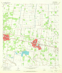
1963 · Donna
USGS Topo · 1:24,000
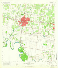
1963 · Mission
USGS Topo · 1:24,000