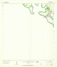
1963 Map of Hidalgo
USGS Topo · Published 1965About this map
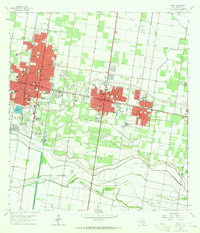
The Rio Grande defines the international border in this 1963 survey, snaking through sharp meanders like Rincon Bend and Pate Bend along the Texas and Tamaulipas boundary. The community of Hidalgo sits at the heart of this river-driven economy, serving as a vital crossing point marked by the McAllen-Hidalgo-Reynosa Toll Bridge and the U S Customs station.
Find a feature on this map
20 named features on this map. Tap any name to fly to it.
Don’t see what you’re looking for? This feature index may not catch every label — zoom into the map to look around manually.
Map Details
Editions of this 1963 Hidalgo Map
2 editions found
Other maps of this area

1914 · San Juan
USGS Topo · 1:48,000

1916 · San Juan
USGS Topo · 1:62,500

1949 · Mc Allen
USGS Topo · 1:250,000

1954 · McAllen
USGS Topo · 1:250,000

1957 · Mc Allen
USGS Topo · 1:250,000

1962 · McAllen
USGS Topo · 1:250,000
1962 · Las Milpas
USGS Topo · 1:24,000

1963 · La Joya
USGS Topo · 1:24,000
1963 · Mission
USGS Topo · 1:24,000
1963 · Pharr
USGS Topo · 1:24,000