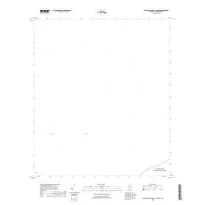
2018 Map of Mississippi Sound (All Water)
USGS Topo · Published 2018About this map
Mississippi Sound dominates this maritime survey, providing a detailed look at the essential shipping and transit corridors off the coast of Harrison County. The chart centers on the Intracoastal Waterway, a critical navigation artery for commercial and recreational vessels moving along the Gulf Coast. The most prominent landform and protected area is the northern boundary of the Gulf Islands National Seashore, which occupies the lower right corner of the map. This area serves as a gateway to the barrier islands that shield the mainland from the open Gulf. In the southwestern quadrant, the Gulfport Channel is clearly delineated, marking the deep-water path required for industrial traffic and cargo ships approaching the regional port. The map serves as a focused record of coastal infrastructure and federally protected maritime environments before any further shifts in shoreline or dredging paths.
Find a feature on this map
4 named features on this map. Tap any name to fly to it.
Don’t see what you’re looking for? This feature index may not catch every label — zoom into the map to look around manually.
Map Details
Editions of this 2018 Mississippi Sound (All Water) Map
This is the sole edition of this map. No revisions or reprints were ever made.
Other maps of this area

1893 · Cat Island
USGS Topo · 1:62,500

1950 · Dog Keys Pass
USGS Topo · 1:24,000

1950 · Ship Island
USGS Topo · 1:24,000

1951 · Cat Island
USGS Topo · 1:24,000

1953 · Mobile
USGS Topo · 1:250,000

1954 · Gulfport North
USGS Topo · 1:24,000

1954 · Gulfport South
USGS Topo · 1:24,000

1954 · Ocean Springs
USGS Topo · 1:24,000

1954 · Biloxi
USGS Topo · 1:24,000

1954 · Deer Island
USGS Topo · 1:24,000