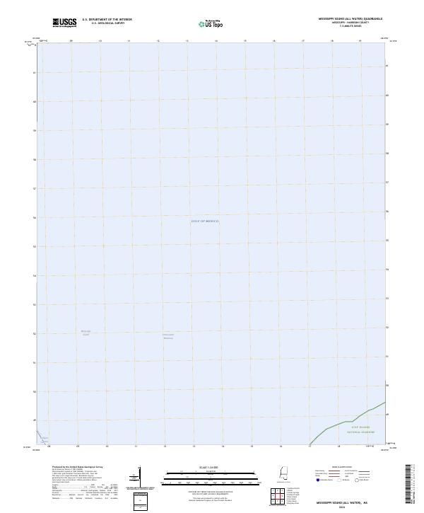
2024 Map of Mississippi Sound (All Water)
USGS Topo · Published 2024About this map
The Mississippi Sound defines this maritime landscape, serving as a critical transitional environment between the mainland and the open Gulf of Mexico. This survey highlights the coastal management and maritime infrastructure essential to the Mississippi coast, including the well-defined Intracostal Waterway and the Gulfport Channel, which facilitate regional shipping and navigation. In the southeastern corner, the map shows a portion of the Gulf Islands National Seashore, reflecting the preservation of the barrier island ecosystem. As an all-water quadrangle, the focus remains entirely on the hydrographic features and federally protected waters that characterize this stretch of Harrison County.
Find a feature on this map
5 named features on this map. Tap any name to fly to it.
Don’t see what you’re looking for? This feature index may not catch every label — zoom into the map to look around manually.
Map Details
Editions of this 2024 Mississippi Sound (All Water) Map
This is the sole edition of this map. No revisions or reprints were ever made.
Other maps of this area

1893 · Cat Island
USGS Topo · 1:62,500

1950 · Dog Keys Pass
USGS Topo · 1:24,000

1950 · Ship Island
USGS Topo · 1:24,000

1951 · Cat Island
USGS Topo · 1:24,000

1953 · Mobile
USGS Topo · 1:250,000

1954 · Gulfport North
USGS Topo · 1:24,000

1954 · Gulfport South
USGS Topo · 1:24,000

1954 · Ocean Springs
USGS Topo · 1:24,000

1954 · Biloxi
USGS Topo · 1:24,000

1954 · Deer Island
USGS Topo · 1:24,000