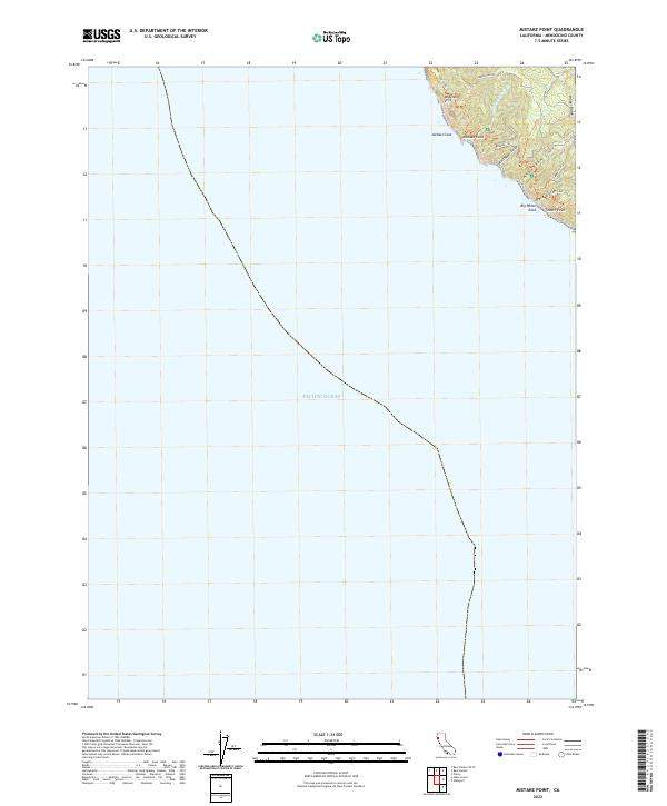
2022 Map of Mistake Point
USGS Topo · Published 2022About this map
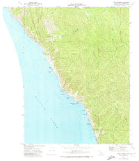
Anderson Cliff dominates the shoreline of this coastal Mendocino County landscape, where the land drops precipitously into the Pacific Ocean. This high-resolution survey from the U.S. Geological Survey captures the intricate drainage patterns of the coastal front, including Anderson Gulch and Northport Gulch. The presence of the Timber Haul Rd and Timber Ridge points to the area's legacy of maritime-adjacent forestry, while the Lost Coast Trl follows the contours of the bluffs. Notable landmarks such as Big White Rock and the sharp peak of Jackass Cone serve as navigational markers for this shoreline. The map illustrates how existing infrastructure like Usal Rd and the Wheeler Trl interact with the steep topography of Mistake Point and Timber Point.
Find a feature on this map
16 named features on this map. Tap any name to fly to it.
Don’t see what you’re looking for? This feature index may not catch every label — zoom into the map to look around manually.
Map Details
Editions of this 2022 Mistake Point Map
This is the sole edition of this map. No revisions or reprints were ever made.
Other maps of this area

1921 · Westport
USGS Topo · 1:62,500

1950 · Piercy
USGS Topo · 1:62,500

1950 · Cape Vizcaino
USGS Topo · 1:62,500

1951 · Cape Vizcaino
USGS Topo · 1:62,500

1957 · Ukiah
USGS Topo · 1:250,000

1960 · Ukiah
USGS Topo · 1:250,000
1966 · Westport
USGS Topo · 1:24,000
1969 · Piercy
USGS Topo · 1:24,000
1969 · Mistake Point
USGS Topo · 1:24,000
1969 · Bear Harbor
USGS Topo · 1:24,000