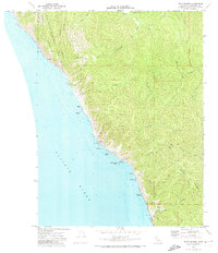
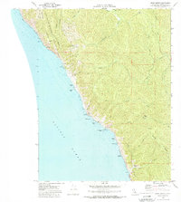
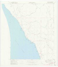
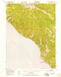
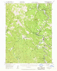
1969 Map of Bear Harbor
USGS Topo · Published 1974About this map
Chamisal Mountain and the King Range National Conservation Area dominate this section of the Mendocino coast, where the steep terrain of the King Range meets the Pacific Ocean. This 1969 field check captures a transition in land use, showing the remote Our Lady of the Redwoods Abbey near the Mattole River headwaters. The map records several locations of former activity, including Kenny (Site) and Wheeler (Site), as well as the Bear Harbor Ranch near the eponymous Bear Harbor.
Find a feature on this map
43 named features on this map. Tap any name to fly to it.
Don’t see what you’re looking for? This feature index may not catch every label — zoom into the map to look around manually.
Map Details
Editions of this 1969 Bear Harbor Map
4 editions found

Other maps of this area

1920 · Pt. Delagda
USGS Topo · 1:62,500

1921 · Briceland
USGS Topo · 1:62,500

1949 · Eureka
USGS Topo · 1:250,000
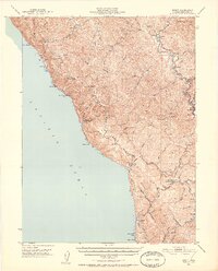
1949 · Point Delgada
USGS Topo · 1:62,500
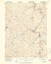
1949 · Garberville
USGS Topo · 1:62,500
1950 · Piercy
USGS Topo · 1:62,500
1951 · Garberville
USGS Topo · 1:62,500
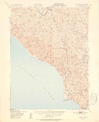
1951 · Point Delgada
USGS Topo · 1:62,500

1957 · Ukiah
USGS Topo · 1:250,000

1958 · Redding
USGS Topo · 1:250,000