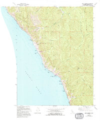
1969 Map of Bear Harbor
USGS Topo · Published 1994About this map
Our Lady of the Redwoods Abbey and the rugged coastal interface of the King Range National Conservation Area anchor this mid-century survey. The terrain is marked by steep canyons and prominent coastal landmarks such as Needle Rock and High Tip, where the Pacific Ocean meets the shore at Bear Harbor. The geography here reflects a landscape transitioning into conservation, with the Sinkyone Wilderness State Park protecting large stretches of the coast.
Find a feature on this map
44 named features on this map. Tap any name to fly to it.
Don’t see what you’re looking for? This feature index may not catch every label — zoom into the map to look around manually.
Map Details
Editions of this 1969 Bear Harbor Map
4 editions found
Other maps of this area

1920 · Pt. Delagda
USGS Topo · 1:62,500

1921 · Briceland
USGS Topo · 1:62,500

1949 · Eureka
USGS Topo · 1:250,000

1949 · Point Delgada
USGS Topo · 1:62,500

1949 · Garberville
USGS Topo · 1:62,500

1950 · Piercy
USGS Topo · 1:62,500

1951 · Garberville
USGS Topo · 1:62,500

1951 · Point Delgada
USGS Topo · 1:62,500

1957 · Ukiah
USGS Topo · 1:250,000

1958 · Redding
USGS Topo · 1:250,000