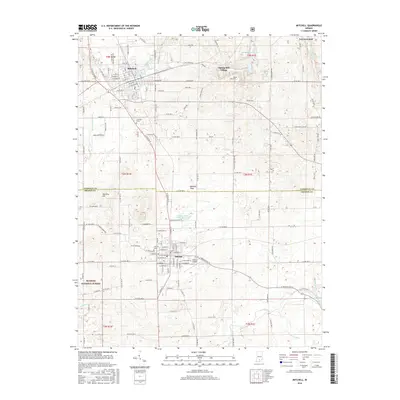
2016 Map of Mitchell
USGS Topo · Published 2016About this map
Mitchell and Orleans anchor this landscape along the border of Lawrence and Orange counties, illustrating the dense grid of a traditional Indiana settlement pattern. The terrain is defined by the Mitchell Plain, a region known for its unique karst topography, which is evidenced here by the winding course of the Lost River and numerous unnamed sinkholes scattered throughout the quadrangle. In the northern section, Spring Mill Village and Spring Mill Park Lake sit adjacent to the historic Hamer Cem, marking a site of early industrial and pioneer heritage.
Find a feature on this map
157 named features on this map. Tap any name to fly to it.
Don’t see what you’re looking for? This feature index may not catch every label — zoom into the map to look around manually.
Map Details
Editions of this 2016 Mitchell Map
This is the sole edition of this map. No revisions or reprints were ever made.
Other maps of this area

1934 · Bedford
USGS Topo · 1:48,000

1935 · Oolitic
USGS Topo · 1:48,000

1937 · Bedford
USGS Topo · 1:62,500

1942 · Oolitic
USGS Topo · 1:62,500

1949 · Georgia
USGS Topo · 1:24,000

1950 · Mitchell
USGS Topo · 1:24,000

1951 · French Lick
USGS Topo · 1:24,000

1951 · Georgia
USGS Topo · 1:24,000

1956 · Vincennes
USGS Topo · 1:250,000

1957 · Vincennes
USGS Topo · 1:250,000