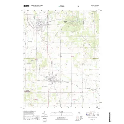
2019 Map of Mitchell
USGS Topo · Published 2019About this map
Mitchell and Orleans anchor this study of the southern Indiana landscape, where the karst topography of the Mitchell Plain is evident through numerous sinkholes and subterranean drainage patterns. The northern half of the map features the historic Spring Mill Village, where Hamer Cem and several hiking trails weave through the hills. Just south, the Hoosier National Forest provides a transition toward the rural areas of Orange Co, which include the Orleans Water Works Reservoir and the Orleans Airport.
Find a feature on this map
158 named features on this map. Tap any name to fly to it.
Don’t see what you’re looking for? This feature index may not catch every label — zoom into the map to look around manually.
Map Details
Editions of this 2019 Mitchell Map
This is the sole edition of this map. No revisions or reprints were ever made.
Other maps of this area

1934 · Bedford
USGS Topo · 1:48,000

1935 · Oolitic
USGS Topo · 1:48,000

1937 · Bedford
USGS Topo · 1:62,500

1942 · Oolitic
USGS Topo · 1:62,500

1949 · Georgia
USGS Topo · 1:24,000

1950 · Mitchell
USGS Topo · 1:24,000

1951 · French Lick
USGS Topo · 1:24,000

1951 · Georgia
USGS Topo · 1:24,000

1956 · Vincennes
USGS Topo · 1:250,000

1957 · Vincennes
USGS Topo · 1:250,000