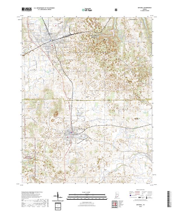
2022 Map of Mitchell
USGS Topo · Published 2022About this map
Mitchell and Orleans anchor this section of southern Indiana, situated atop the limestone karst of the Mitchell Plain. The landscape is defined by its unique subterranean drainage, notably the Lost River which flows through the southern portion of the quadrangle before entering the Hoosier National Forest. These karst features have historically influenced the settlement and agriculture of the region, visible in the cluster of sinkholes and rolling topography surrounding Tom Rice Hill.
Find a feature on this map
156 named features on this map. Tap any name to fly to it.
Don’t see what you’re looking for? This feature index may not catch every label — zoom into the map to look around manually.
Map Details
Editions of this 2022 Mitchell Map
This is the sole edition of this map. No revisions or reprints were ever made.
Other maps of this area

1934 · Bedford
USGS Topo · 1:48,000

1935 · Oolitic
USGS Topo · 1:48,000

1937 · Bedford
USGS Topo · 1:62,500

1942 · Oolitic
USGS Topo · 1:62,500

1949 · Georgia
USGS Topo · 1:24,000

1950 · Mitchell
USGS Topo · 1:24,000

1951 · French Lick
USGS Topo · 1:24,000

1951 · Georgia
USGS Topo · 1:24,000

1956 · Vincennes
USGS Topo · 1:250,000

1957 · Vincennes
USGS Topo · 1:250,000