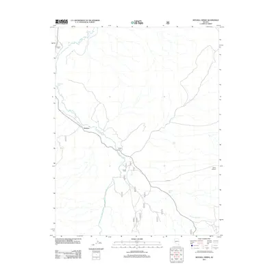
2011 Map of Mitchell Spring
USGS Topo · Published 2011About this map
The East Walker River meanders through this high-desert landscape in the western Great Basin, anchoring a corridor of ranching activity centered around Wichman. This 2011 survey illustrates the spatial relationship between the river and established properties like Flying M Ranch and Morgans Ranch, which rely on the water systems draining from the surrounding terrain. To the east, the topography becomes more defined as the land rises toward Lapon Canyon, where intermittent water sources such as Mitchell Spring and Dickey Spring are critical landmarks. The road network, including Hilton Rd and numerous forest service tracks, follows the natural drainage patterns of Rattlesnake Creek and Cottonwood Creek, reflecting a land-use pattern focused on livestock and resource management in a semi-arid environment.
Find a feature on this map
23 named features on this map. Tap any name to fly to it.
Don’t see what you’re looking for? This feature index may not catch every label — zoom into the map to look around manually.
Map Details
Editions of this 2011 Mitchell Spring Map
This is the sole edition of this map. No revisions or reprints were ever made.
Other maps of this area

1891 · Wellington
USGS Topo · 1:125,000

1893 · Wellington
USGS Topo · 1:125,000

1909 · Hawthorne
USGS Topo · 1:250,000

1909 · Bridgeport
USGS Topo · 1:125,000

1911 · Bridgeport
USGS Topo · 1:125,000

1911 · Hawthorne
USGS Topo · 1:250,000

1915 · Hawthorne
USGS Topo · 1:250,000

1920 · Bridgeport
USGS Topo · 1:125,000

1948 · Walker Lake
USGS Topo · 1:250,000

1956 · Mt. Grant
USGS Topo · 1:62,500