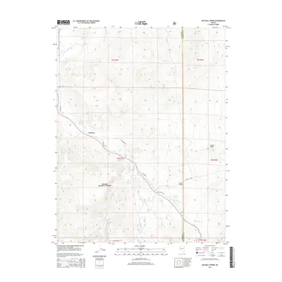
2014 Map of Mitchell Spring
USGS Topo · Published 2014About this map
The East Walker River carves a critical path through this high-desert landscape, serving as the primary corridor for movement and life between the eastern slopes of the Toyabe National Forest and the Wassuk Range. The small settlement of Wichman sits near the river's bend, where local routes like Pine Grove Rd and E Walker Rd converge. This proximity to the water was essential for ranching and travel in a region otherwise defined by the arid draws of Lapon Canyon and the seasonal flows of Rattlesnake Cr.
Find a feature on this map
20 named features on this map. Tap any name to fly to it.
Don’t see what you’re looking for? This feature index may not catch every label — zoom into the map to look around manually.
Map Details
Editions of this 2014 Mitchell Spring Map
This is the sole edition of this map. No revisions or reprints were ever made.
Other maps of this area

1891 · Wellington
USGS Topo · 1:125,000

1893 · Wellington
USGS Topo · 1:125,000

1909 · Hawthorne
USGS Topo · 1:250,000

1909 · Bridgeport
USGS Topo · 1:125,000

1911 · Bridgeport
USGS Topo · 1:125,000

1911 · Hawthorne
USGS Topo · 1:250,000

1915 · Hawthorne
USGS Topo · 1:250,000

1920 · Bridgeport
USGS Topo · 1:125,000

1948 · Walker Lake
USGS Topo · 1:250,000

1956 · Mt. Grant
USGS Topo · 1:62,500