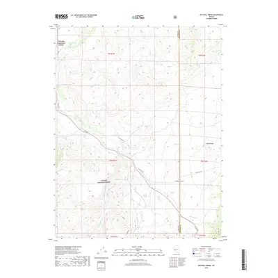
2018 Map of Mitchell Spring
USGS Topo · Published 2018About this map
The East Walker River snakes through this high-elevation landscape, defining the topography within the eastern portion of the Toiyabe National Forest. The map documents a critical transition between the river valley and the rising slopes of the Wassuk Range, characterized by significant drainages such as Lapham Canyon. This 2018 survey captures the region's sparse network of ranching and access roads, including E Walker Rd and Pine Grove Rd, which connect remote water sources like Mitchell Spring and Dickey Spring. These springs and seasonal waterways like Rattlesnake Cr were vital for livestock and early prospectors moving through this corner of the Great Basin. The cartography illustrates the remote boundary where Lyon County meets Mineral County, showing the enduring land-use patterns of the American West in the modern era.
Find a feature on this map
18 named features on this map. Tap any name to fly to it.
Don’t see what you’re looking for? This feature index may not catch every label — zoom into the map to look around manually.
Map Details
Editions of this 2018 Mitchell Spring Map
This is the sole edition of this map. No revisions or reprints were ever made.
Other maps of this area

1891 · Wellington
USGS Topo · 1:125,000

1893 · Wellington
USGS Topo · 1:125,000

1909 · Hawthorne
USGS Topo · 1:250,000

1909 · Bridgeport
USGS Topo · 1:125,000

1911 · Bridgeport
USGS Topo · 1:125,000

1911 · Hawthorne
USGS Topo · 1:250,000

1915 · Hawthorne
USGS Topo · 1:250,000

1920 · Bridgeport
USGS Topo · 1:125,000

1948 · Walker Lake
USGS Topo · 1:250,000

1956 · Mt. Grant
USGS Topo · 1:62,500