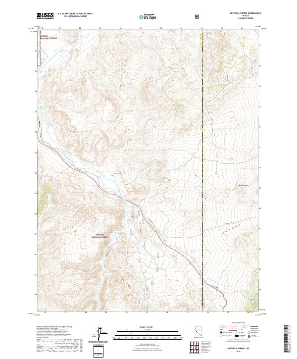
2021 Map of Mitchell Spring
USGS Topo · Published 2021About this map
The Toiyabe National Forest encompasses the high desert terrain of the Wassuk Range and the surrounding drainage basins of Lyon and Mineral counties. The East Walker River serves as the central hydrological feature, carving a path through the landscape that is mirrored by historical access routes like E Walker Rd and the East Walker Trl. These corridors follow the river's descent, connecting the high ridges with the valleys below. Evidence of localized water sources, essential for ranching and early habitation in this arid region, is found at Mitchell Spring and Dickey Spring. The topography is further defined by significant geological transitions, including the steep descent of Lapham Canyon and the winding course of Rattlesnake Cr as it approaches the river, illustrating the complex drainage patterns of the Great Basin.
Find a feature on this map
19 named features on this map. Tap any name to fly to it.
Don’t see what you’re looking for? This feature index may not catch every label — zoom into the map to look around manually.
Map Details
Editions of this 2021 Mitchell Spring Map
This is the sole edition of this map. No revisions or reprints were ever made.
Other maps of this area

1891 · Wellington
USGS Topo · 1:125,000

1893 · Wellington
USGS Topo · 1:125,000

1909 · Hawthorne
USGS Topo · 1:250,000

1909 · Bridgeport
USGS Topo · 1:125,000

1911 · Bridgeport
USGS Topo · 1:125,000

1911 · Hawthorne
USGS Topo · 1:250,000

1915 · Hawthorne
USGS Topo · 1:250,000

1920 · Bridgeport
USGS Topo · 1:125,000

1948 · Walker Lake
USGS Topo · 1:250,000

1956 · Mt. Grant
USGS Topo · 1:62,500