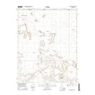
2014 Map of Mitten Buttes
USGS Topo · Published 2014About this map
Oljato-Monument Valley anchors the northwest corner of this 2014 survey, where the iconic red-rock formations of the Colorado Plateau cross the border between Arizona and Utah. This landscape is defined by its massive sandstone towers and mesas, including the famous West Mitten Butte and East Mitten Butte which dominate the northern skyline alongside Merrick Butte. The map illustrates a concentration of geological wonders such as The Hub, Rain God Mesa, and the slender Totem Pole spire near Yei Bichei.
Find a feature on this map
50 named features on this map. Tap any name to fly to it.
Don’t see what you’re looking for? This feature index may not catch every label — zoom into the map to look around manually.
Map Details
Editions of this 2014 Mitten Buttes Map
This is the sole edition of this map. No revisions or reprints were ever made.
Other maps of this area

1883 · Marsh Pass
USGS Topo · 1:250,000

1886 · Henry Mountains
USGS Topo · 1:250,000

1886 · Abajo
USGS Topo · 1:250,000

1892 · Marsh Pass
USGS Topo · 1:250,000

1892 · Abajo
USGS Topo · 1:250,000

1892 · Henry Mountains
USGS Topo · 1:250,000

1892 · Canyon De Chelly
USGS Topo · 1:250,000

1893 · Abajo
USGS Topo · 1:250,000

1952 · Clay Hills 4 SW
USGS Topo · 1:24,000

1952 · Agathla Peak 1 NW
USGS Topo · 1:24,000