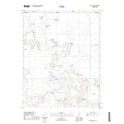
2018 Map of Mitten Buttes
USGS Topo · Published 2018About this map
West Mitten Butte and East Mitten Butte rise near the border of Navajo Co and San Juan Co, marking the northern entrance to this iconic landscape on the Utah Arizona state line. This 2018 survey detail provides an intricate view of the sandstone formations and mesas that define the region, including Merrick Butte and the extensive Mitchell Mesa. The topography reveals a complex network of canyons and arches, such as Double Arch Canyon and Moccasin Arch, while Hunts Mesa dominates the southern portion of the sheet. Navigation through this arid terrain is primary via Indian Rte 42, which passes landmark spires like the Totem Pole and the Yei Bichei monoliths. Scattered water sources like Sand Spring and the ephemeral drainages of Gypsum Creek offer evidence of the area's scarce but vital hydrology.
Find a feature on this map
48 named features on this map. Tap any name to fly to it.
Don’t see what you’re looking for? This feature index may not catch every label — zoom into the map to look around manually.
Map Details
Editions of this 2018 Mitten Buttes Map
This is the sole edition of this map. No revisions or reprints were ever made.
Other maps of this area

1883 · Marsh Pass
USGS Topo · 1:250,000

1886 · Henry Mountains
USGS Topo · 1:250,000

1886 · Abajo
USGS Topo · 1:250,000

1892 · Marsh Pass
USGS Topo · 1:250,000

1892 · Abajo
USGS Topo · 1:250,000

1892 · Henry Mountains
USGS Topo · 1:250,000

1892 · Canyon De Chelly
USGS Topo · 1:250,000

1893 · Abajo
USGS Topo · 1:250,000

1952 · Clay Hills 4 SW
USGS Topo · 1:24,000

1952 · Agathla Peak 1 NW
USGS Topo · 1:24,000