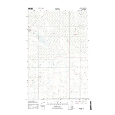
2016 Map of Mizpah NE
USGS Topo · Published 2016About this map
The low-lying wetlands of Koochiching County define this northern Minnesota landscape, where the Lost River and Caldwell Brook meander through a dense network of forest roads and township lines. The small settlement of Gemmell serves as a primary point of reference in the northwest, situated near the Oak Hill-Gemmell Cem and the waters of Clear Lake. Further south, the community of Pinetop sits amidst a complex of drainage features including Pancake Cr and seasonal marshland. This survey illustrates a region largely shaped by forestry and remote rural habitation, with access provided by routes like the Gemmell Ridge Forest Rd and Hanson Forest Rd. The map provides a detailed view of the section lines and township boundaries that organize this wilderness area, from Dark Lake to the various unnamed creek branches that feed into the larger river systems.
Find a feature on this map
28 named features on this map. Tap any name to fly to it.
Don’t see what you’re looking for? This feature index may not catch every label — zoom into the map to look around manually.
Map Details
Editions of this 2016 Mizpah NE Map
This is the sole edition of this map. No revisions or reprints were ever made.
Other maps of this area

1918 · Zora
USGS Topo · 1:62,500

1919 · Zora
USGS Topo · 1:62,500

1919 · Lundgren
USGS Topo · 1:62,500

1919 · Gemmell
USGS Topo · 1:62,500

1919 · Margie
USGS Topo · 1:62,500

1954 · Bemidji
USGS Topo · 1:250,000

1954 · Hibbing
USGS Topo · 1:250,000

1954 · Roseau
USGS Topo · 1:250,000

1954 · International Falls
USGS Topo · 1:250,000

1957 · Roseau
USGS Topo · 1:250,000