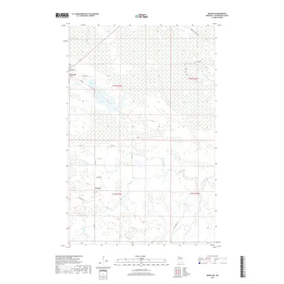
2019 Map of Mizpah NE
USGS Topo · Published 2019About this map
Gemmell and the small settlement of Pinetop anchor this survey of the Northern Minnesota wilderness in Koochiching County. The landscape is defined by an extensive network of wetlands and small waterways, including the Lost River in the northwest and Pancake Cr further south. For those tracing local heritage, the Oak Hill-Gemmell Cem is a primary landmark near the junction of Highway 71 and local roads. The map reveals a transition from the structured township grids of t152n r27w and t152n r26w to the winding forest routes like Gemmell Ridge Forest Rd. The presence of Clear Lake and Dark Lake underscores the typical glacial terrain of the region, while numerous unpaved forest roads such as Blueberry Rd and Hanson Forest Rd suggest a history of timber management and remote access in this sparsely populated area.
Find a feature on this map
28 named features on this map. Tap any name to fly to it.
Don’t see what you’re looking for? This feature index may not catch every label — zoom into the map to look around manually.
Map Details
Editions of this 2019 Mizpah NE Map
This is the sole edition of this map. No revisions or reprints were ever made.
Other maps of this area

1918 · Zora
USGS Topo · 1:62,500

1919 · Zora
USGS Topo · 1:62,500

1919 · Lundgren
USGS Topo · 1:62,500

1919 · Gemmell
USGS Topo · 1:62,500

1919 · Margie
USGS Topo · 1:62,500

1954 · Bemidji
USGS Topo · 1:250,000

1954 · Hibbing
USGS Topo · 1:250,000

1954 · Roseau
USGS Topo · 1:250,000

1954 · International Falls
USGS Topo · 1:250,000

1957 · Roseau
USGS Topo · 1:250,000