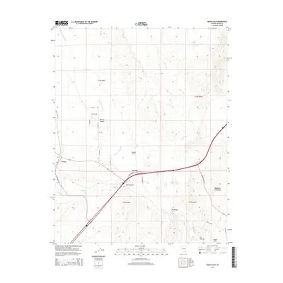
2014 Map of Moapa East
USGS Topo · Published 2014About this map
Meadow Valley Wash and the Muddy River converge in this arid landscape within the Mojave Desert, shaping the development of the broader Moapa Valley. The settlements of Moapa Town and Moapa occupy the northern and western reaches, while the junction at Glendale serves as a transportation hub where E Glendale Blvd meets the regional thoroughfares. The terrain is defined by dry drainage systems such as Weiser Wash and California Wash, which reveal the hydrological patterns of the basin.
Find a feature on this map
31 named features on this map. Tap any name to fly to it.
Don’t see what you’re looking for? This feature index may not catch every label — zoom into the map to look around manually.
Map Details
Editions of this 2014 Moapa East Map
This is the sole edition of this map. No revisions or reprints were ever made.
Other maps of this area

1886 · Saint Thomas
USGS Topo · 1:250,000

1893 · Saint Thomas
USGS Topo · 1:250,000

1954 · Las Vegas
USGS Topo · 1:250,000

1957 · Las Vegas
USGS Topo · 1:250,000

1958 · Moapa
USGS Topo · 1:62,500

1958 · Overton
USGS Topo · 1:62,500

1959 · Las Vegas
USGS Topo · 1:250,000

1962 · Las Vegas
USGS Topo · 1:250,000

1969 · Farrier
USGS Topo · 1:24,000
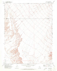
1969 · Rox SE
USGS Topo · 1:24,000