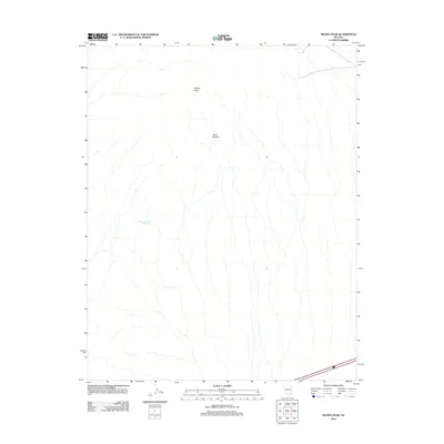
2012 Map of Moapa Peak
USGS Topo · Published 2012About this map
Moapa Peak dominates this high-desert landscape in Clark County, where complex drainage patterns define the arid terrain. The water systems of this region are sparsely marked, highlighted primarily by Sheep Canyon Reservoir, which serves as a rare point of catchment in a landscape of seasonal washes. Further east, the natural topographic depressions known as Jacks Pockets suggest the subtle geographical variations that historically dictated movement and land use in this part of Nevada. This 2012 survey by the U.S. Geological Survey shows a largely undeveloped wilderness, reflecting the persistent character of the Great Basin's rugged interior where human infrastructure remains confined to the very periphery of the quadrangle.
Find a feature on this map
3 named features on this map. Tap any name to fly to it.
Don’t see what you’re looking for? This feature index may not catch every label — zoom into the map to look around manually.
Map Details
Editions of this 2012 Moapa Peak Map
This is the sole edition of this map. No revisions or reprints were ever made.
Other maps of this area

1886 · Saint Thomas
USGS Topo · 1:250,000

1893 · Saint Thomas
USGS Topo · 1:250,000

1954 · Las Vegas
USGS Topo · 1:250,000

1957 · Las Vegas
USGS Topo · 1:250,000

1958 · Moapa
USGS Topo · 1:62,500

1958 · Overton
USGS Topo · 1:62,500

1959 · Las Vegas
USGS Topo · 1:250,000

1962 · Las Vegas
USGS Topo · 1:250,000
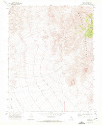
1969 · Rox NE
USGS Topo · 1:24,000
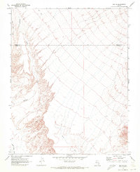
1969 · Rox SE
USGS Topo · 1:24,000