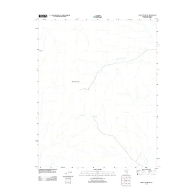
2012 Map of Moapa Peak NW
USGS Topo · Published 2012About this map
Mormon Peak anchors this corner of the Mormon Mountains in Lincoln County, Nevada. The high-desert landscape is defined by the ephemeral drainage system of the South Fork Toquop Wash, which cuts across the arid terrain. For those tracing the geography of the Great Basin, this 2012 survey identifies vital water sources that have historically sustained life in the region, including Horse Spring, Wiregrass Spring, and Hackberry Spring. These scattered springs represent the essential landmarks for travelers and livestock in a territory otherwise dominated by dry washes and mountain slopes.
Find a feature on this map
6 named features on this map. Tap any name to fly to it.
Don’t see what you’re looking for? This feature index may not catch every label — zoom into the map to look around manually.
Map Details
Editions of this 2012 Moapa Peak NW Map
This is the sole edition of this map. No revisions or reprints were ever made.
Other maps of this area

1885 · Pioche
USGS Topo · 1:250,000

1886 · Saint Thomas
USGS Topo · 1:250,000

1886 · Pioche
USGS Topo · 1:250,000

1893 · Saint Thomas
USGS Topo · 1:250,000

1954 · Caliente
USGS Topo · 1:250,000

1954 · Las Vegas
USGS Topo · 1:250,000

1957 · Las Vegas
USGS Topo · 1:250,000

1959 · Caliente
USGS Topo · 1:250,000

1959 · Las Vegas
USGS Topo · 1:250,000

1962 · Las Vegas
USGS Topo · 1:250,000