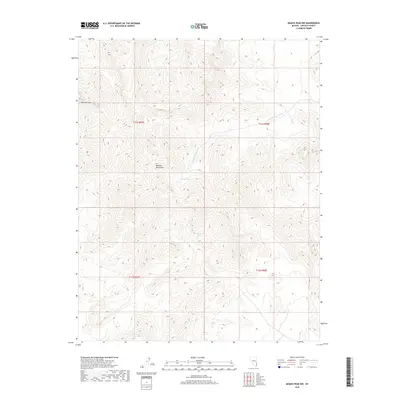
2018 Map of Moapa Peak NW
USGS Topo · Published 2018About this map
Mormon Mountains dominate the landscape of this high-elevation desert terrain in eastern Lincoln County. Rising toward the prominent Mormon Peak, the topography is defined by intricate drainage networks and isolated water sources that historically dictated movement through this arid region. The presence of Horse Spring, Wiregrass Spring, and Hackberry Spring points to the vital reliance on these perennial points in an otherwise dry environment. The northern portion of the map is marked by the S Fork Tuquop Wash, a significant ephemeral drainage that channels seasonal runoff toward the south. This 2018 survey provides a modern topographical view of the public land survey system, specifically illustrating parts of t11s r67e, t11s r68e, t12s r67e, and t12s r68e.
Find a feature on this map
10 named features on this map. Tap any name to fly to it.
Don’t see what you’re looking for? This feature index may not catch every label — zoom into the map to look around manually.
Map Details
Editions of this 2018 Moapa Peak NW Map
This is the sole edition of this map. No revisions or reprints were ever made.
Other maps of this area

1885 · Pioche
USGS Topo · 1:250,000

1886 · Saint Thomas
USGS Topo · 1:250,000

1886 · Pioche
USGS Topo · 1:250,000

1893 · Saint Thomas
USGS Topo · 1:250,000

1954 · Caliente
USGS Topo · 1:250,000

1954 · Las Vegas
USGS Topo · 1:250,000

1957 · Las Vegas
USGS Topo · 1:250,000

1959 · Caliente
USGS Topo · 1:250,000

1959 · Las Vegas
USGS Topo · 1:250,000

1962 · Las Vegas
USGS Topo · 1:250,000