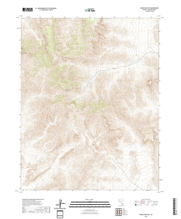
2021 Map of Moapa Peak NW
USGS Topo · Published 2021About this map
Mormon Peak stands as the high point of the Mormon Mountains in this high-elevation desert landscape of southeastern Lincoln County. This 2021 survey documents a topography defined by steep relief and isolated water sources, essential for understanding the historical movement of people and livestock through the Great Basin. Vital water points like Horse Spring, Wiregrass Spring, and Hackberry Spring are precisely located, revealing the sparse but critical network of reliable moisture in an otherwise arid environment. The drainage pattern is dominated by the S Fork Toquop Wash, which carves through the eastern portion of the range. The map provides a contemporary record of these ancient landmarks, which have long served as navigational anchors for indigenous people, early explorers, and modern backcountry surveyors.
Find a feature on this map
10 named features on this map. Tap any name to fly to it.
Don’t see what you’re looking for? This feature index may not catch every label — zoom into the map to look around manually.
Map Details
Editions of this 2021 Moapa Peak NW Map
This is the sole edition of this map. No revisions or reprints were ever made.
Other maps of this area

1885 · Pioche
USGS Topo · 1:250,000

1886 · Saint Thomas
USGS Topo · 1:250,000

1886 · Pioche
USGS Topo · 1:250,000

1893 · Saint Thomas
USGS Topo · 1:250,000

1954 · Caliente
USGS Topo · 1:250,000

1954 · Las Vegas
USGS Topo · 1:250,000

1957 · Las Vegas
USGS Topo · 1:250,000

1959 · Caliente
USGS Topo · 1:250,000

1959 · Las Vegas
USGS Topo · 1:250,000

1962 · Las Vegas
USGS Topo · 1:250,000