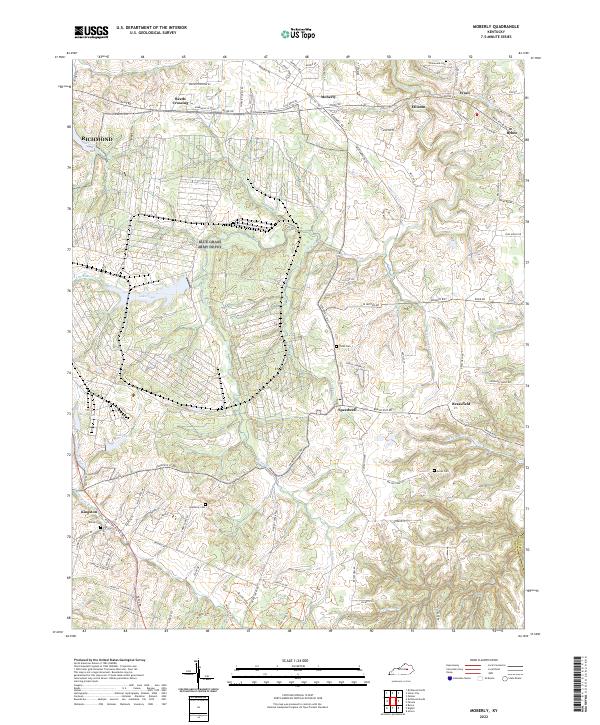
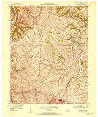
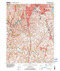
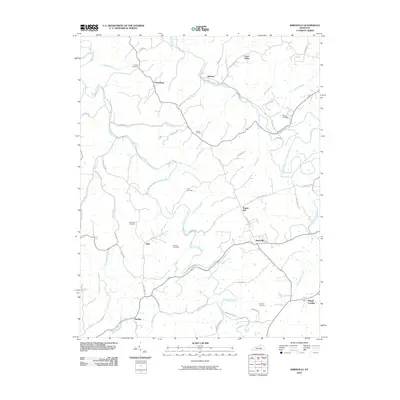
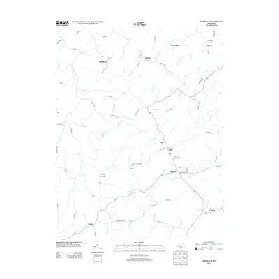
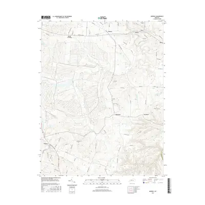
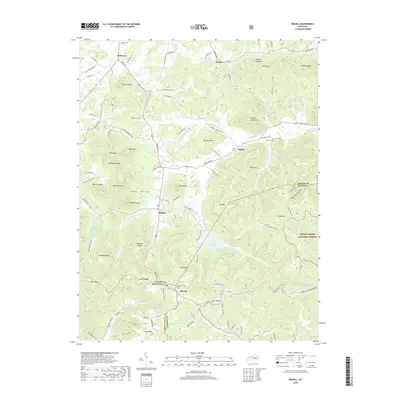
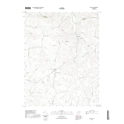
2022 Map of Moberly
USGS Topo · Published 2022About this map
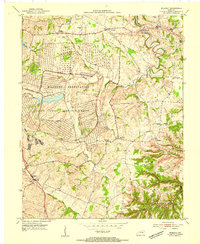
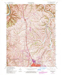
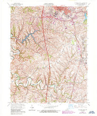
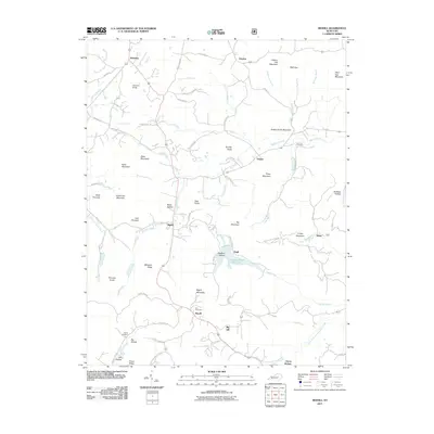
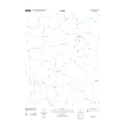
Otter Creek and its various tributaries carve through the heart of Madison County, framing a landscape defined by small rural hubs and family landmarks. This 2022 survey captures the enduring layout of communities like Waco and Kingston, where modern roads follow long-established routes across the rolling Kentucky terrain. The concentration of local cemeteries, including Parks Cem near Speedwell and Heatherly Cem to the south, provides an invaluable resource for tracing family ties in the region.
Find a feature on this map
98 named features on this map. Tap any name to fly to it.
Don’t see what you’re looking for? This feature index may not catch every label — zoom into the map to look around manually.
Map Details
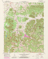
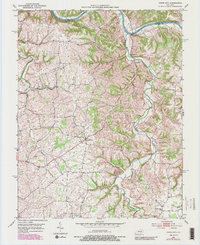
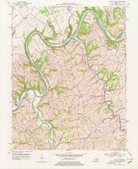
Editions of this 2022 Moberly Map
This is the sole edition of this map. No revisions or reprints were ever made.
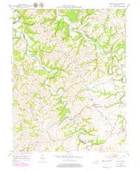
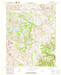
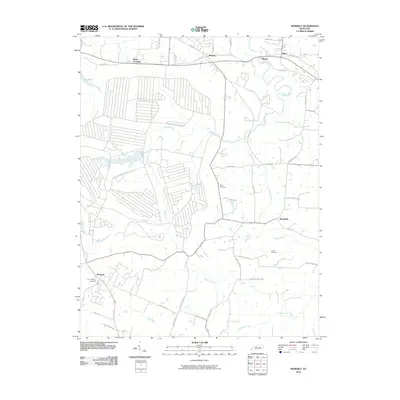
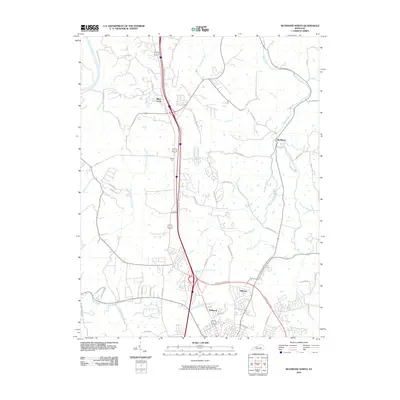
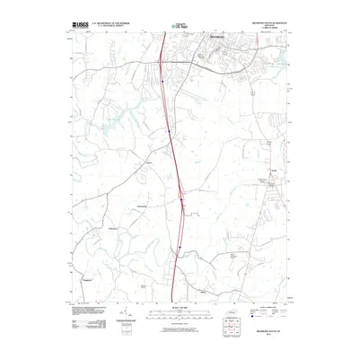
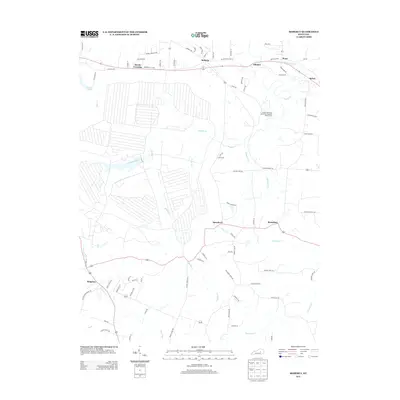
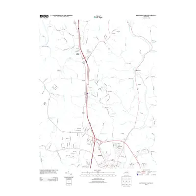
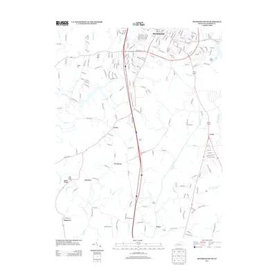
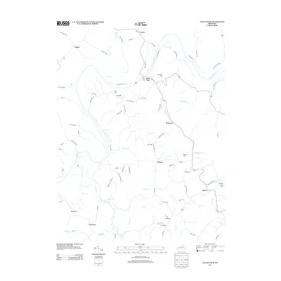
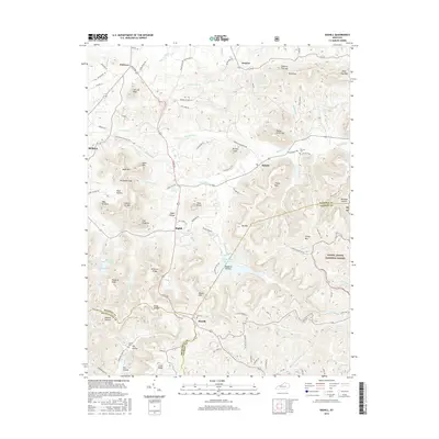
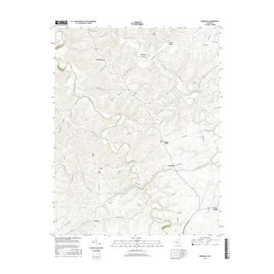
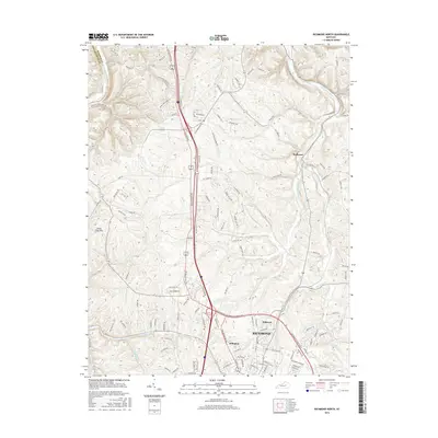
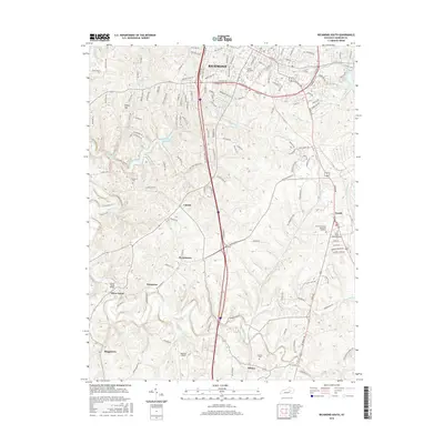
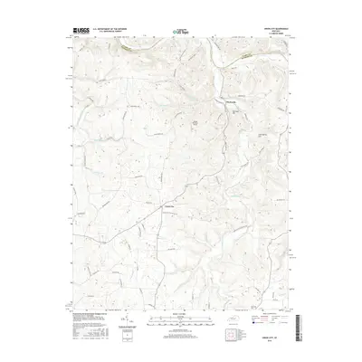
Historical Maps of Richmond Through Time
46 maps found
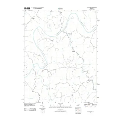
1952 Bighill
Madison County, KY
1952 Kirksville
Madison County, KY
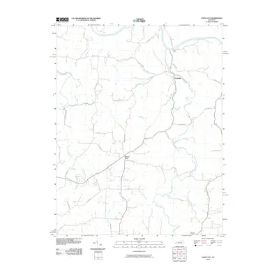
1952 Moberly
Madison County, KY
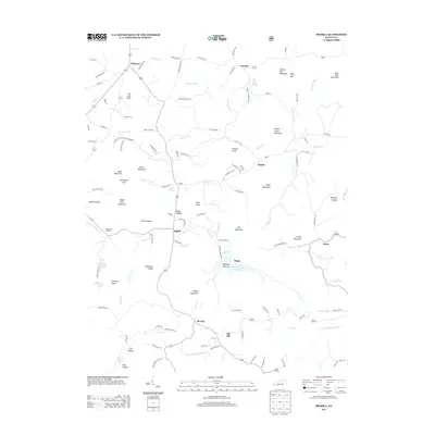
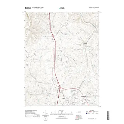
1952 Richmond North
Madison County, KY
1952 Union City
Madison County, KY
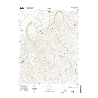
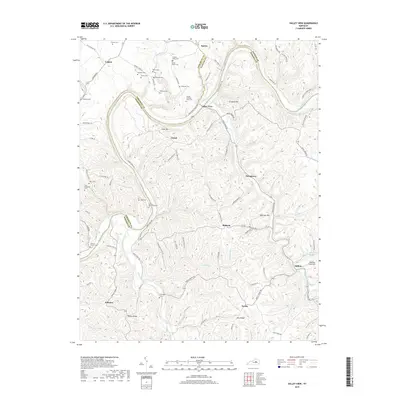
1952 Valley View
Madison County, KY
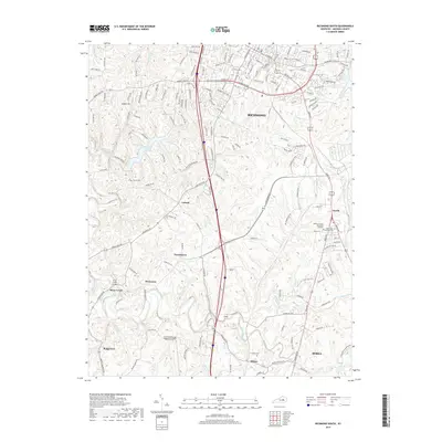
1953 Richmond South
Madison County, KY
1954 Moberly
Madison County, KY
1965 Richmond North
Madison County, KY
1965 Richmond South
Madison County, KY
1997 Richmond South
Madison County, KY
2010 Kirksville
Madison County, KY
2010 Moberly
Madison County, KY
2010 Richmond North
Madison County, KY
2010 Richmond South
Madison County, KY
2010 Union City
Madison County, KY
2010 Valley View
Madison County, KY
2011 Bighill
Madison County, KY
2013 Bighill
Madison County, KY
2013 Kirksville
Madison County, KY
2013 Moberly
Madison County, KY
2013 Richmond North
Madison County, KY
2013 Richmond South
Madison County, KY
2013 Union City
Madison County, KY
2013 Valley View
Madison County, KY
2016 Bighill
Madison County, KY
2016 Kirksville
Madison County, KY
2016 Moberly
Madison County, KY
2016 Richmond North
Madison County, KY
2016 Richmond South
Madison County, KY
2016 Union City
Madison County, KY
2016 Valley View
Madison County, KY
2019 Bighill
Madison County, KY
2019 Kirksville
Madison County, KY
2019 Moberly
Madison County, KY
2019 Richmond North
Madison County, KY
2019 Richmond South
Madison County, KY
2019 Union City
Madison County, KY
2019 Valley View
Madison County, KY
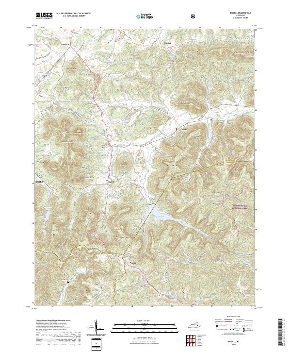
2022 Bighill
Madison County, KY
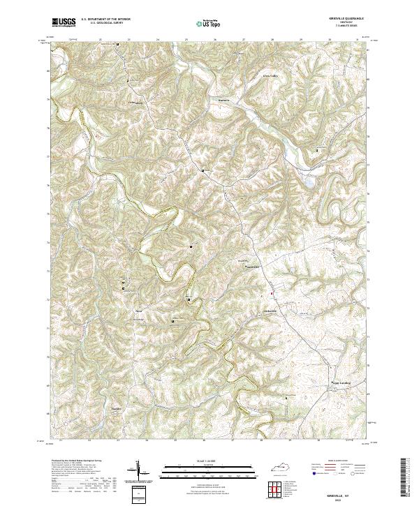
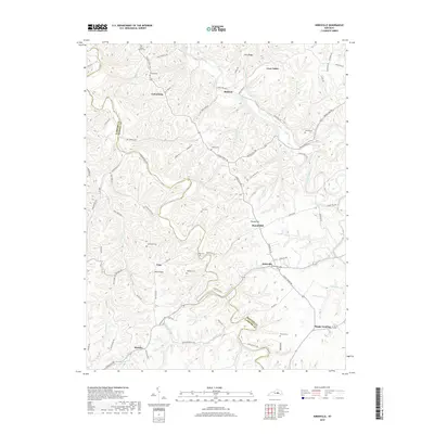
2022 Kirksville
Madison County, KY
2022 Moberly
Madison County, KY
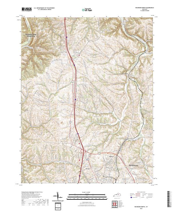
2022 Richmond North
Madison County, KY
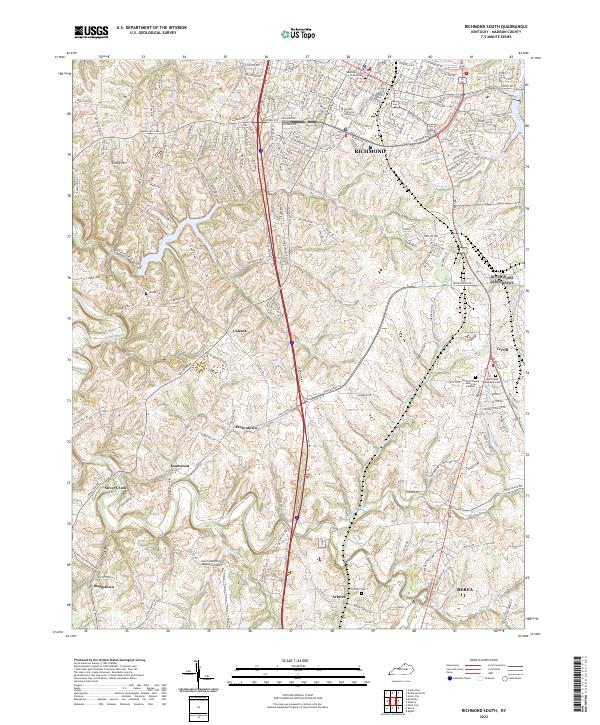
2022 Richmond South
Madison County, KY
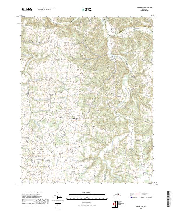
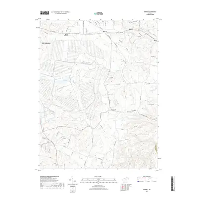
2022 Union City
Madison County, KY
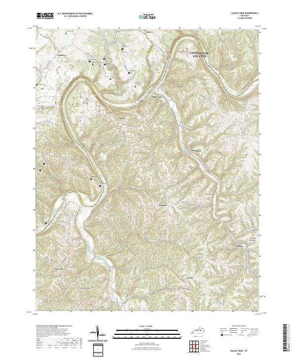
2022 Valley View
Madison County, KY