
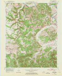
1952 Map of Panola
USGS Topo · Published 1954About this map
The Kentucky River winds along the northern and eastern reaches of this early 1950s terrain, marking a sharp transition from the river valley to the complex ridges of Madison and Estill counties. Small agricultural communities and rural schoolhouses, such as Maddie Sch and Sand Hill Sch, are tucked into the drainages of Drowning Creek and Crooked Creek. The Louisville And Nashville railroad follows the river's path, serving the settlements of West Irvine and Wisemantown.
Find a feature on this map
57 named features on this map. Tap any name to fly to it.
Don’t see what you’re looking for? This feature index may not catch every label — zoom into the map to look around manually.
Map Details
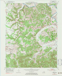
Editions of this 1952 Panola Map
3 editions found
Other maps of this area

1892 · Richmond
USGS Topo · 1:125,000

1892 · Beattyville
USGS Topo · 1:125,000

1897 · Richmond
USGS Topo · 1:125,000

1952 · Alcorn
USGS Topo · 1:24,000

1952 · Leighton
USGS Topo · 1:24,000

1952 · Union City
USGS Topo · 1:24,000

1952 · Palmer
USGS Topo · 1:24,000

1952 · Clay City
USGS Topo · 1:24,000

1952 · Irvine
USGS Topo · 1:24,000

1952 · Bighill
USGS Topo · 1:24,000