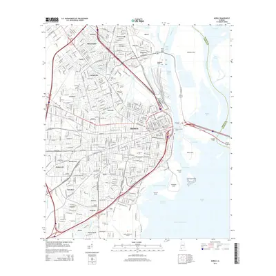
2014 Map of Mobile
USGS Topo · Published 2014About this map
Mobile and its riverine industrial corridors are documented here just before the mid-2010s, showing the complex interaction between the historic city center and the Mobile River waterfront. The map captures the dense network of neighborhoods such as Prichard, Toulminville, and Crichton, while highlighting significant local landmarks including the Mobile Downtown Airport and the campus of Bishop State Community College. Of particular interest to genealogists is the high concentration of burial sites, ranging from the historic Spanish Burial Grounds and Church Street Cemetery near the downtown core to the expansive Catholic Cem of Mobile and Magnolia Cemetery.
Find a feature on this map
81 named features on this map. Tap any name to fly to it.
Don’t see what you’re looking for? This feature index may not catch every label — zoom into the map to look around manually.
Map Details
Editions of this 2014 Mobile Map
This is the sole edition of this map. No revisions or reprints were ever made.
Other maps of this area

1921 · Fairhope
USGS Topo · 1:62,500

1922 · Mobile
USGS Topo · 1:62,500

1939 · Daphne
USGS Topo · 1:31,680

1940 · Hollingers Island
USGS Topo · 1:31,680

1940 · Mobile
USGS Topo · 1:31,680

1940 · Mobile
USGS Topo · 1:62,500

1941 · Chickasaw
USGS Topo · 1:31,680

1941 · Daphne
USGS Topo · 1:31,680

1941 · Blakeley
USGS Topo · 1:31,680

1941 · Bay Minette
USGS Topo · 1:62,500