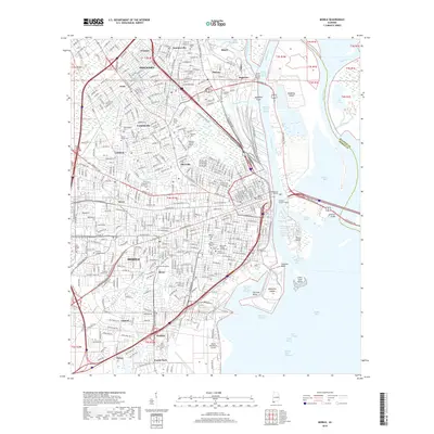
2018 Map of Mobile
USGS Topo · Published 2018About this map
Mobile and its industrial waterfront are the focal points of this 2018 survey, showing the complex interplay of river channels, shipping infrastructure, and historic urban neighborhoods. The city's maritime character is evident through the extensive reaches of the Mobile River, including Blakely Island Reach and the Garrows Bend Channel that serves McDuffie Island. Large-scale infrastructure like the Cochrane Bridge, Bankhead Tunnel, and the George C Wallace Tunnel link the mainland to Blakely Island and beyond.
Find a feature on this map
84 named features on this map. Tap any name to fly to it.
Don’t see what you’re looking for? This feature index may not catch every label — zoom into the map to look around manually.
Map Details
Editions of this 2018 Mobile Map
This is the sole edition of this map. No revisions or reprints were ever made.
Other maps of this area

1921 · Fairhope
USGS Topo · 1:62,500

1922 · Mobile
USGS Topo · 1:62,500

1939 · Daphne
USGS Topo · 1:31,680

1940 · Hollingers Island
USGS Topo · 1:31,680

1940 · Mobile
USGS Topo · 1:31,680

1940 · Mobile
USGS Topo · 1:62,500

1941 · Chickasaw
USGS Topo · 1:31,680

1941 · Daphne
USGS Topo · 1:31,680

1941 · Blakeley
USGS Topo · 1:31,680

1941 · Bay Minette
USGS Topo · 1:62,500