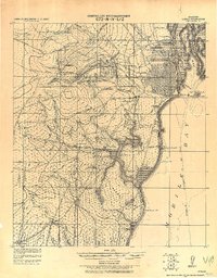
1922 Map of Mobile
USGS Topo · Published 1922About this map
Mobile and its immediate western hinterlands are meticulously documented in this 1922 tactical study, which draws upon earlier work by the Corps of Engineers and the U. S. Coast and Geodetic Survey. The landscape is defined by the heavy maritime and rail infrastructure surrounding Mobile Bay and the Mobile River, where numerous coastal fortifications like Bat. Mackintosh. and Bat. Gladden Light. once guarded the harbor approaches.
Find a feature on this map
73 named features on this map. Tap any name to fly to it.
Don’t see what you’re looking for? This feature index may not catch every label — zoom into the map to look around manually.
Map Details
Editions of this 1922 Mobile Map
This is the sole edition of this map. No revisions or reprints were ever made.
Other maps of this area
1921 · Grand Bay
USGS Topo · 1:62,500
1921 · Point Clear
USGS Topo · 1:62,500
1921 · Fairhope
USGS Topo · 1:62,500
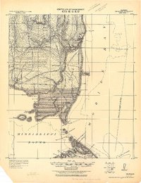
1921 · Delchamps
USGS Topo · 1:62,500
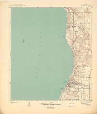
1939 · Daphne
USGS Topo · 1:31,680
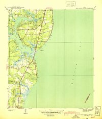
1940 · Hollingers Island
USGS Topo · 1:31,680
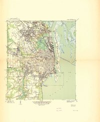
1940 · Mobile
USGS Topo · 1:31,680
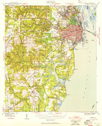
1940 · Mobile
USGS Topo · 1:62,500
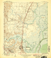
1941 · Chickasaw
USGS Topo · 1:31,680
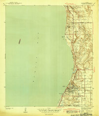
1941 · Daphne
USGS Topo · 1:31,680