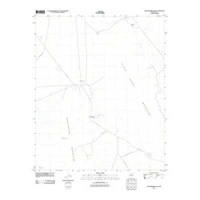
2010 Map of Mockingbird Gap
USGS Topo · Published 2010About this map
White Sands Missile Range occupies a significant portion of this high-desert territory, where restricted access and federal operations intersect with traditional ranching landmarks. The geography is defined by the corridor between the Little Burro Mountains and the Mockingbird Mountains, which converge at the strategic passage of Mockingbird Gap. This landscape is characterized by its vital water infrastructure, featuring named catchments such as Babers Tank, Murry Tank, and Mountain Tanks that sustain life in an arid environment otherwise drained by the seasonal Salt Creek. The presence of small settlements like Independence and Little Burro suggests the localized human footprint in this vast military-adjacent terrain. Navigation is facilitated by a network of specialized routes, including WSMR P Route 13 and WSMR P Route 7, which serve the missile range’s logistical needs while skirting the natural landmarks of Oscura Gap.
Find a feature on this map
16 named features on this map. Tap any name to fly to it.
Don’t see what you’re looking for? This feature index may not catch every label — zoom into the map to look around manually.
Map Details
Editions of this 2010 Mockingbird Gap Map
This is the sole edition of this map. No revisions or reprints were ever made.
Other maps of this area

1916 · Salinas Peak
USGS Topo · 1:125,000

1916 · Tularosa
USGS Topo · 1:125,000

1918 · Oscura Peak
USGS Topo · 1:125,000

1947 · Capitol Peak
USGS Topo · 1:62,500

1948 · Granjean Well
USGS Topo · 1:62,500

1948 · Mockingbird Gap
USGS Topo · 1:62,500

1948 · Salinas Peak
USGS Topo · 1:62,500

1954 · Tularosa
USGS Topo · 1:250,000

1958 · Tularosa
USGS Topo · 1:250,000

1981 · Fairview Mountain
USGS Topo · 1:24,000