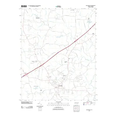
2010 Map of Mocksville
USGS Topo · Published 2010About this map
Mocksville serves as the focal point for this 2010 survey of Davie County, where suburban developments like Farmland Acres meet the established agricultural landscape of Piedmont North Carolina. The map documents a network of rural settlements including Cana, Smith Grove, and Booetown, alongside industrial and civil infrastructure such as Sugar Valley Airport and the Hodmans Post Office. Water management is prominent throughout the terrain, evidenced by several water structure dams along Dutchman Creek and the presence of Mocksville Lake. Genealogists and local historians can trace legacy landmarks through the Joppa Cemetery and Rose Cemetery, while the path of Interstate 40 bisects the region, illustrating the modern transportation corridor's impact on these historic communities. The survey detail covers various family-named branches and creeks, such as Becks Spring Branch and Leonard Creek, which have shaped the local topography for generations.
Find a feature on this map
72 named features on this map. Tap any name to fly to it.
Don’t see what you’re looking for? This feature index may not catch every label — zoom into the map to look around manually.
Map Details
Editions of this 2010 Mocksville Map
This is the sole edition of this map. No revisions or reprints were ever made.
Other maps of this area

1891 · Yadkinville
USGS Topo · 1:125,000

1893 · Statesville
USGS Topo · 1:125,000

1893 · Yadkinville
USGS Topo · 1:125,000

1950 · Churchland
USGS Topo · 1:24,000

1951 · Churchland
USGS Topo · 1:24,000

1953 · Charlotte
USGS Topo · 1:250,000

1953 · Winston-Salem
USGS Topo · 1:250,000

1954 · Charlotte
USGS Topo · 1:250,000

1955 · Winston-Salem
USGS Topo · 1:250,000

1960 · Charlotte
USGS Topo · 1:250,000