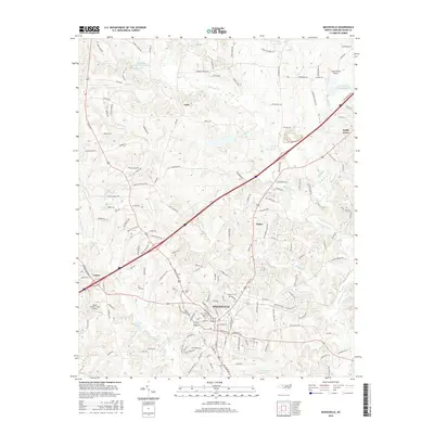
2016 Map of Mocksville
USGS Topo · Published 2016About this map
Mocksville serves as the focal point of this Piedmont landscape, where the town's street grid meets the path of Railroad St. The surrounding countryside in Davie County is defined by a dense network of waterways, most notably the meandering Dutchman Cr and its tributaries like Frost Mill Cr and Becks Spring Br. Small communities and named crossroads such as Cana, Smith Grove, and Maine are scattered across the terrain, reflecting the area's long-standing rural settlement patterns. Genealogy and local history researchers will find particular value in the documentation of historic burial grounds, including Joppa Cem and Rose Cem, which sit near the heart of the county seat. The topography is further marked by Pudding Ridge Rd, tracing the higher ground between the creek valleys that have shaped the local geography for generations.
Find a feature on this map
19 named features on this map. Tap any name to fly to it.
Don’t see what you’re looking for? This feature index may not catch every label — zoom into the map to look around manually.
Map Details
Editions of this 2016 Mocksville Map
This is the sole edition of this map. No revisions or reprints were ever made.
Other maps of this area

1891 · Yadkinville
USGS Topo · 1:125,000

1893 · Statesville
USGS Topo · 1:125,000

1893 · Yadkinville
USGS Topo · 1:125,000

1950 · Churchland
USGS Topo · 1:24,000

1951 · Churchland
USGS Topo · 1:24,000

1953 · Charlotte
USGS Topo · 1:250,000

1953 · Winston-Salem
USGS Topo · 1:250,000

1954 · Charlotte
USGS Topo · 1:250,000

1955 · Winston-Salem
USGS Topo · 1:250,000

1960 · Charlotte
USGS Topo · 1:250,000