2022 Map of Mocksville
USGS Topo · Published 2022About this map
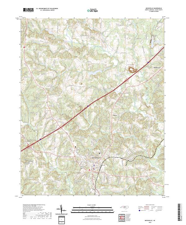
Mocksville serves as the central hub of this Davie County landscape, where the confluence of modern transportation and deep-rooted community history is clearly visible. The town's grid expands outward from its core, bounded by significant local landmarks such as the historic Joppa Cem and Rose Cemetery. North of the town center, the small settlements of Cana and Maine are situated along a network of family-named roads like Green Farm Rd and Paul Eaton Rd, reflecting the area's agricultural heritage and decentralized residential growth.
Find a feature on this map
165 named features on this map. Tap any name to fly to it.
Don’t see what you’re looking for? This feature index may not catch every label — zoom into the map to look around manually.
Map Details
Editions of this 2022 Mocksville Map
This is the sole edition of this map. No revisions or reprints were ever made.