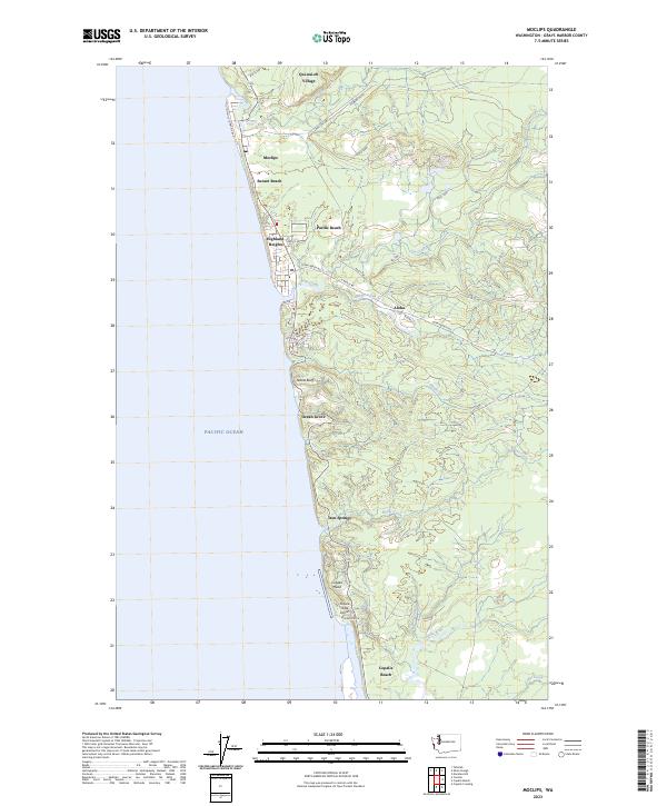
2023 Map of Moclips
USGS Topo · Published 2023About this map
The coastal edge of Grays Harbor County meets the Pacific Ocean along a stretch of sandy shoreline defined by small communities and tribal lands. Qui-nai-elt Village sits at the northern end near the mouth of the Moclips River, while the towns of Moclips and Pacific Beach anchor the central coast. This area is characterized by a network of creeks like Joe Creek and Beaver Creek that cut through the coastal forest, flowing toward the sea. Inland, the small settlement of Aloha is situated along Ocean Beach Road, showing the transition from beachfront living to the timber-rich hillsides of the Olympic Peninsula periphery.
Find a feature on this map
39 named features on this map. Tap any name to fly to it.
Don’t see what you’re looking for? This feature index may not catch every label — zoom into the map to look around manually.
Map Details
Editions of this 2023 Moclips Map
This is the sole edition of this map. No revisions or reprints were ever made.
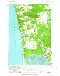
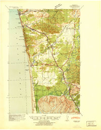
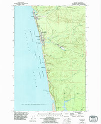
Historical Maps of Iron Springs Through Time
4 maps found