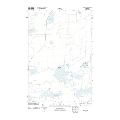
2010 Map of Moen Lake
USGS Topo · Published 2010About this map
Roosevelt and the surrounding lakeside communities east of Rhinelander define this portion of Oneida County. The landscape is dominated by a complex network of glacial water bodies, with Lake Thompson and Shepard Lake serving as central features. The drainage pattern is dictated by the North Branch Pelican River and numerous tributaries such as Gudegast Creek and Jennie Webber Creek, which connect smaller basins like Tenderfoot Lake and Jennie Webber Lake. This 2010 survey reflects a region primarily characterized by seasonal and year-round residential development near the shorelines, anchored by the local landmark at Northland Memorial Park. The abundance of named lakes, including Minnow Lake, Emden Lake, and Bullhead Lake, suggests a high density of recreational use and private holdings typical of the Wisconsin Northwoods at the start of the twenty-first century.
Find a feature on this map
26 named features on this map. Tap any name to fly to it.
Don’t see what you’re looking for? This feature index may not catch every label — zoom into the map to look around manually.
Map Details
Editions of this 2010 Moen Lake Map
This is the sole edition of this map. No revisions or reprints were ever made.
Other maps of this area

1928 · Three Lakes
USGS Topo · 1:48,000

1930 · Robbins
USGS Topo · 1:48,000

1938 · Three Lakes
USGS Topo · 1:48,000

1938 · Robbins
USGS Topo · 1:48,000

1940 · Monico
USGS Topo · 1:48,000

1940 · Rhinelander
USGS Topo · 1:48,000

1945 · Three Lakes
USGS Topo · 1:48,000

1945 · Robbins
USGS Topo · 1:48,000

1949 · Rhinelander
USGS Topo · 1:48,000

1950 · Monico
USGS Topo · 1:48,000